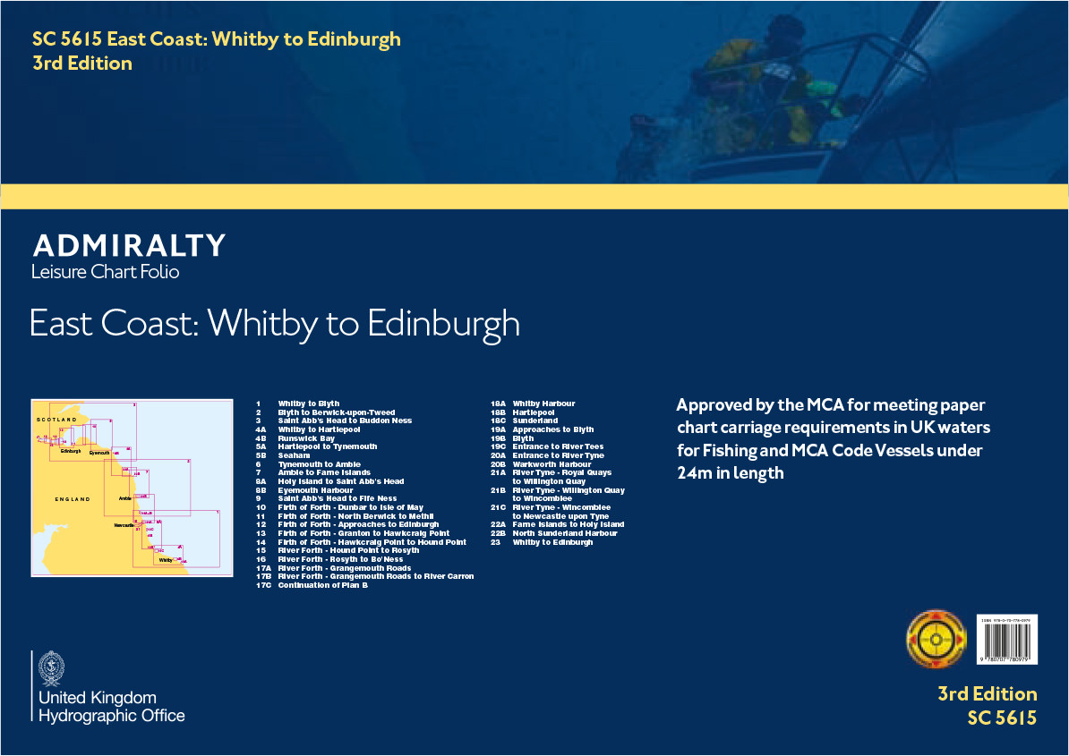

SC5615 East Coast of England & Scotland - Whitby to Edinburgh
Beschreibung
Kartensatz wurde eingezogen, Einzelblätter sind im Print-on-Demand Verfahren erhältlich - bei Interesse kontaktieren Sie uns gerne!
Kartensatz wurde eingezogen, Einzelblätter sind im Print-on-Demand Verfahren erhältlich - bei Interesse kontaktieren Sie uns gerne!
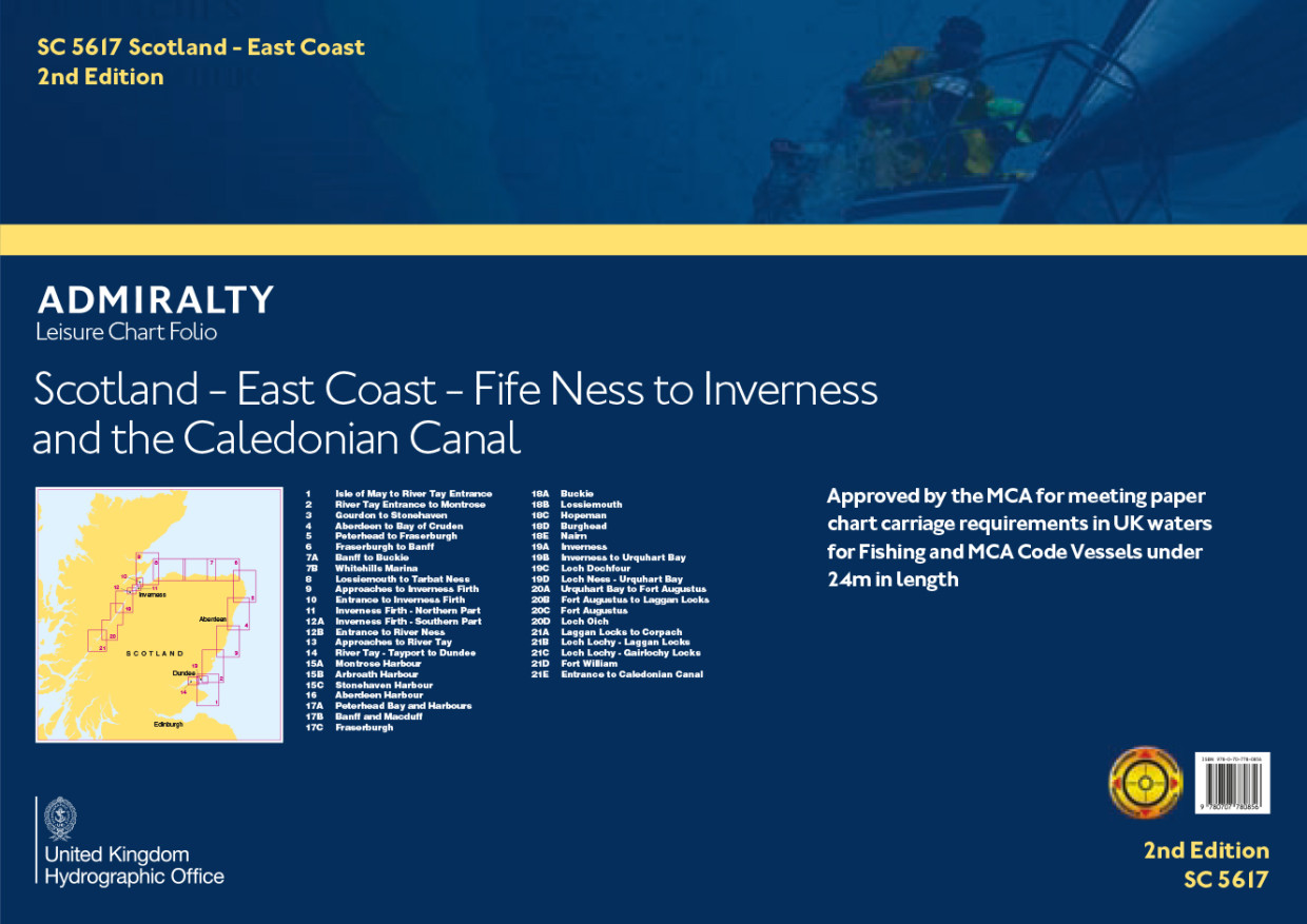
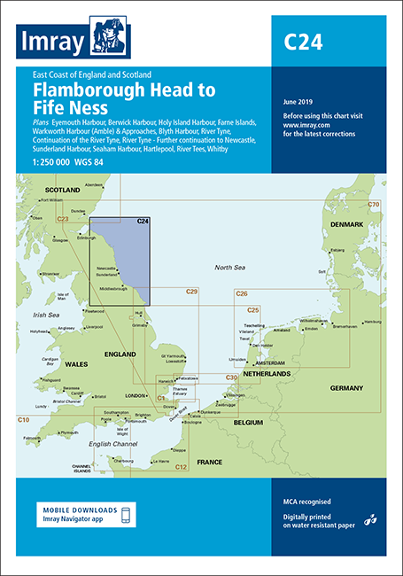
ADMIRALTY SC5615 - East Coast of England & Scotland, Whitby to Edinburgh - ist ein amtlicher Sportbootkartensatz für einen Abschnitte an der Ostküste Englands und Schottlands (Nordsee) von Runswick Bay im Süden bis zum Firth of Forth im Norden.
Der Kartensatz ist für die Sportschifffahrt konzipiert und ist zusätzlich von der britischen Maritime and Coastguard Agency (MCA) für ausrüstungspflichtige Schiffe bis 24m Länge zugelassen.
Abdeckung und Kartenliste:
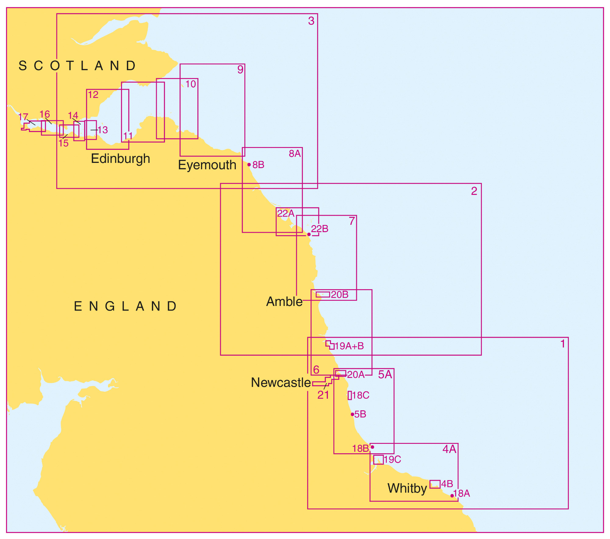
Der Satz SC5615 enthält unter anderem die Seekarten für die Ansteuerungen in die Häfen von Middlesborough, Newcastle upon Tyne und Leith (Edinburg)
Im einzelnen sind folgende Karten enthalten:
Übersegler
23. Whitby to Edinburgh incl. Dogger Bank - 1:750.000
1. Whitby to Blyth - 1:200.000
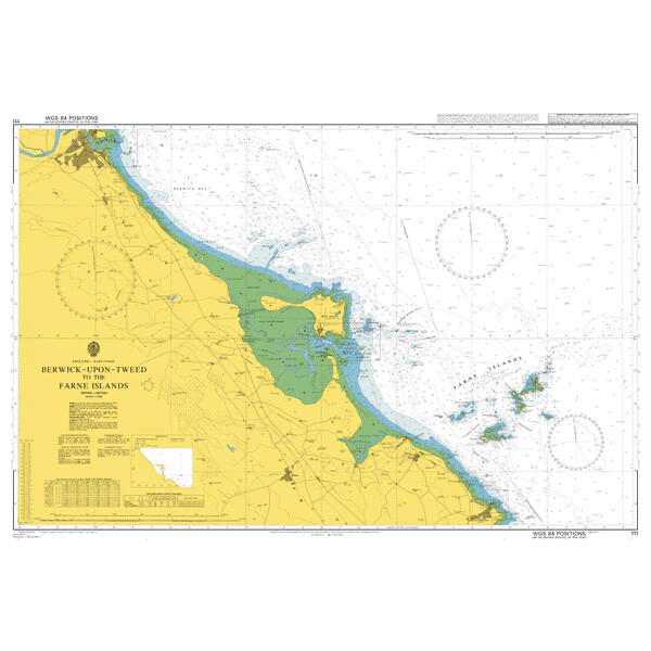
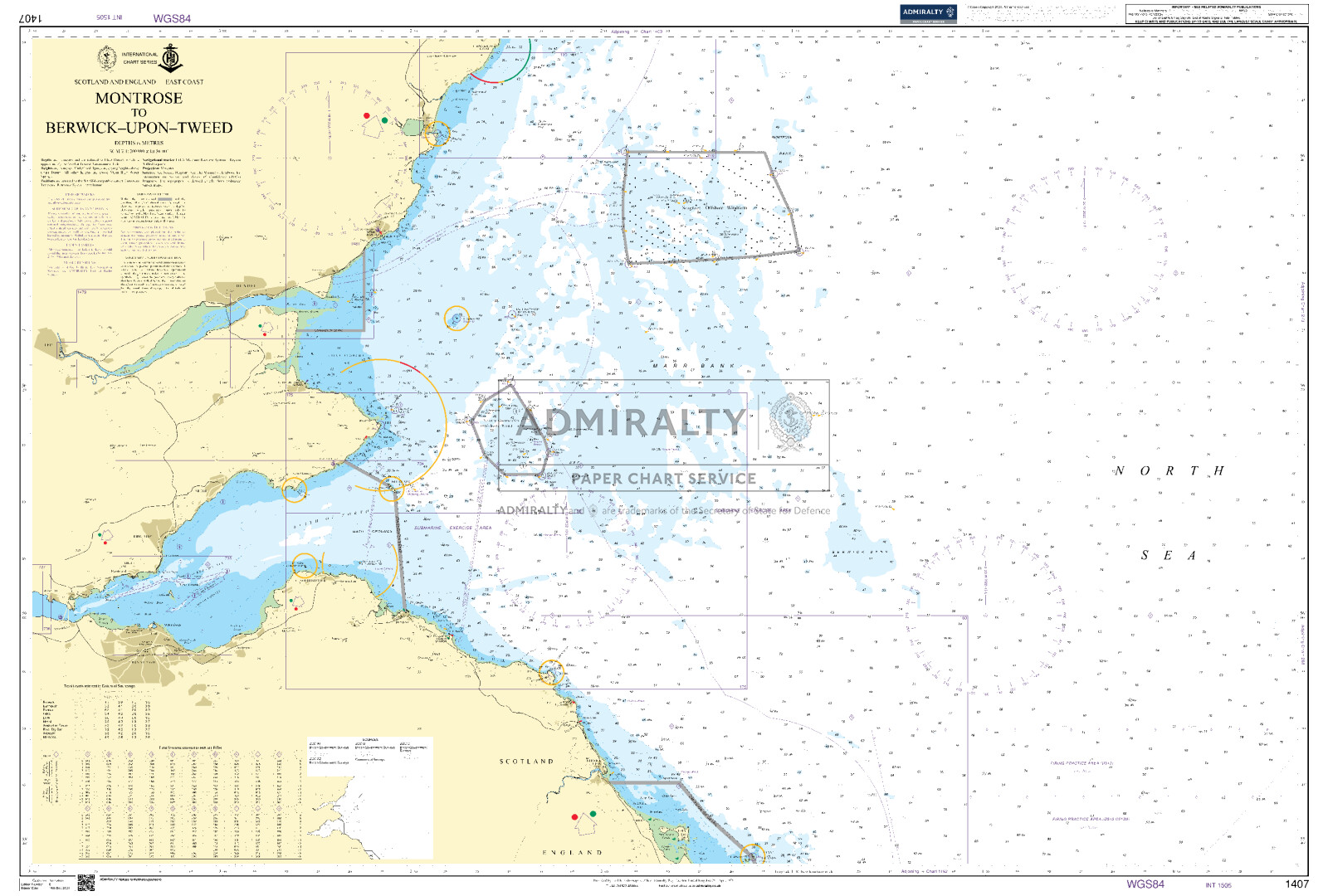
2. Blyth to Berwick-upon-Tweed - 1:200.000
3. Saint Abbs Head to Buddon Ness - 1:200.000
Revierkarten
4A. Whitby to Hartlepool - 1:75.000
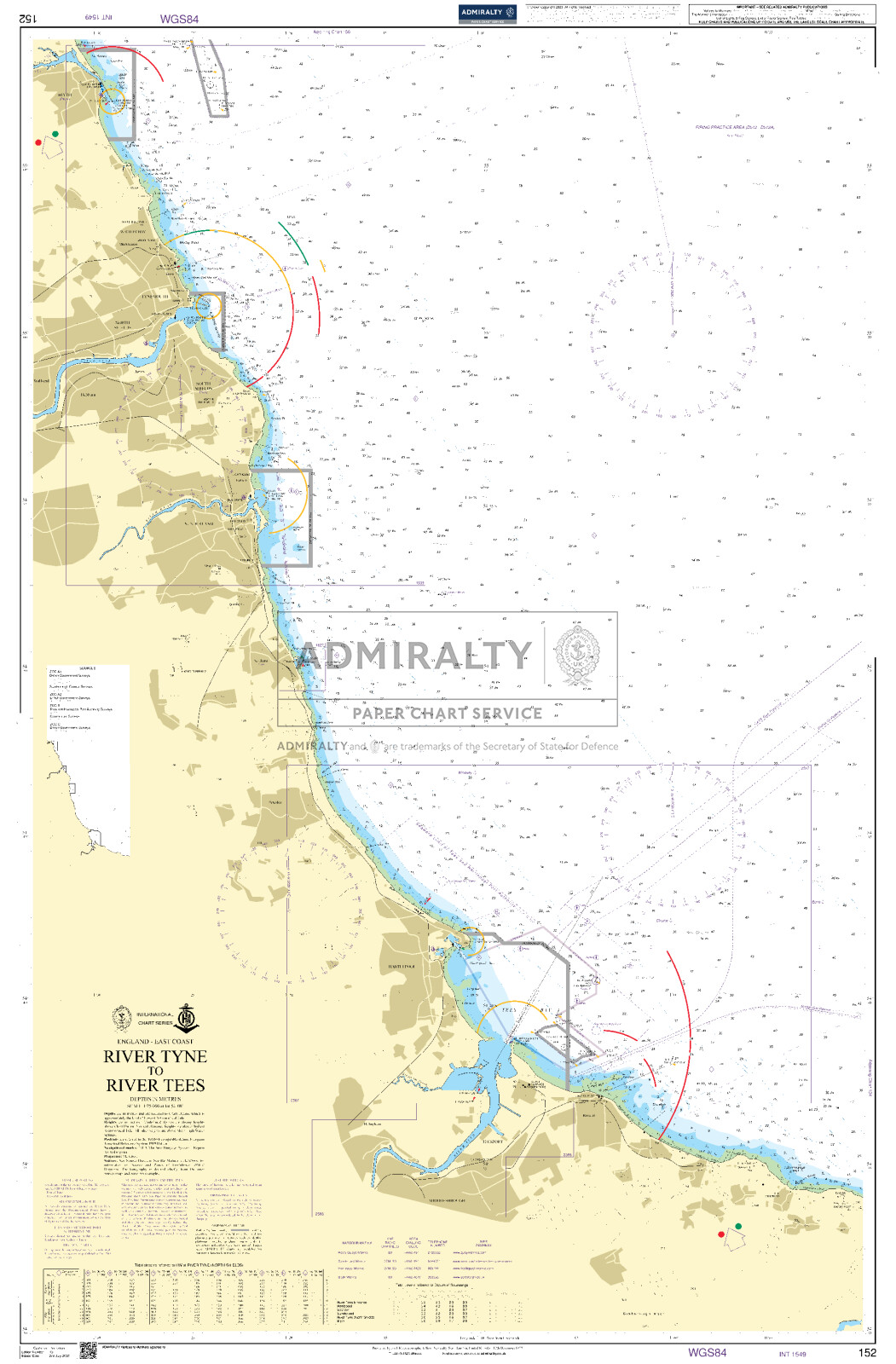
5A. Hartlepool to Tynemouth - 1:75.000
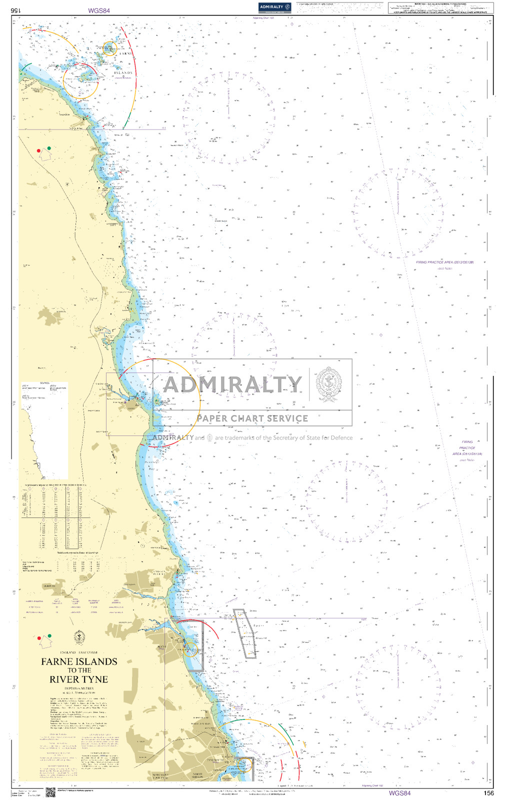
6. Tynemouth to Amble - 1:75.000
7. Amble to Farne Islands - 1:75.000
8A. Holy Island to Saint Abbs Head - 1:75.000
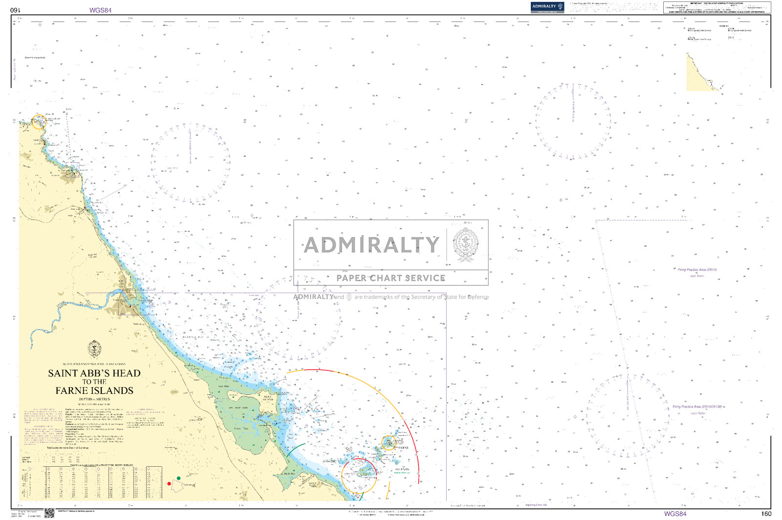
9. Saint Abbs head to Fife Ness - 1:75.000
Details
4B. Runswick Bay
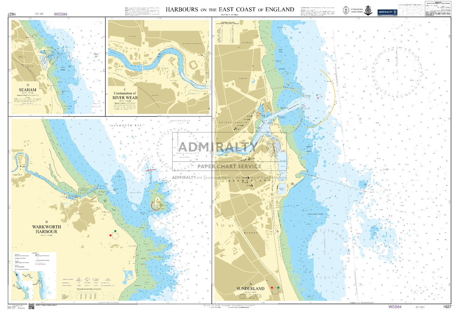
5B. Seaham
8B. Eyemouth Harbour
10. Firth of Forth-Dunbar to Isle of May - 1:50.000
11. Firth of Forth-North Berwick to Methil - 1:50.000
12. Firth of Forth-Approaches to Edinburgh - 1:50.000
13 Firth of Forth-Granton to Hawkcraig Point
14 Firth of Forth- Hawkcraig Point to Hound Point
15 River Firth-Hound Point to Rosyth
16 River Firth- Rosyth to Bo'ness
17A. River Forth-Grangemouth Roads
17B. River Forth-Grangemouth and River Carron
17C. Contd. of River Carron
18A. Whitby Harbour
18B. Hartlepool
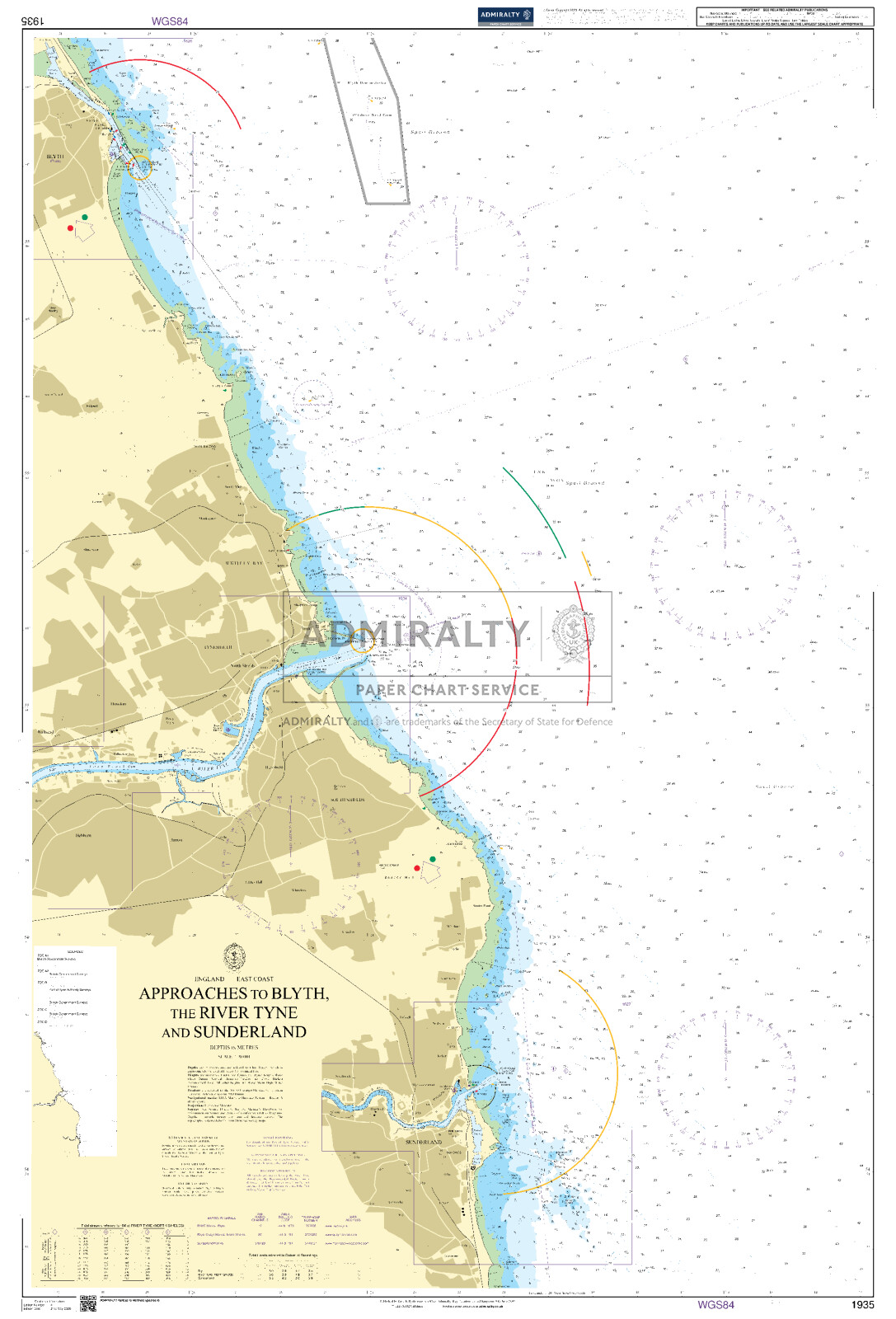
18C. Sunderland
19A. Approaches to Blyth
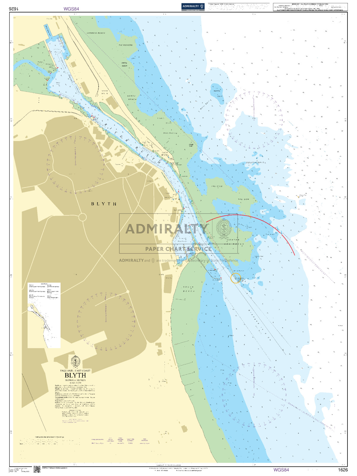
19B. Blyth
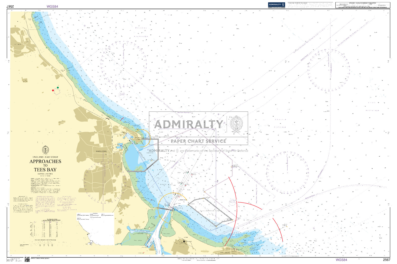
19C. Entrance to River Tees
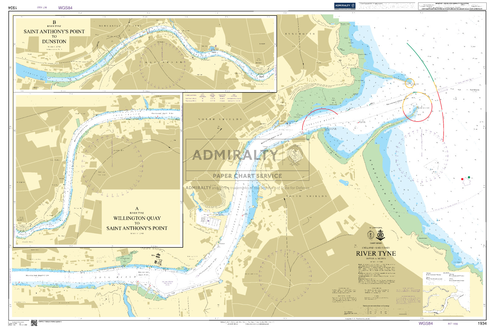
20A. Entrance to River Tyne
20B. Warkworth harbour
21A. River Tyne-Royal Quays to Willington Quay
21B. River Tyne-Willington Quay to Wincomblee
21C. River Tyne-Wincomblee to Newcastle-upon-Tyne
22A. Farne Islands to Holy Island
22B. North Sunderland Harbour
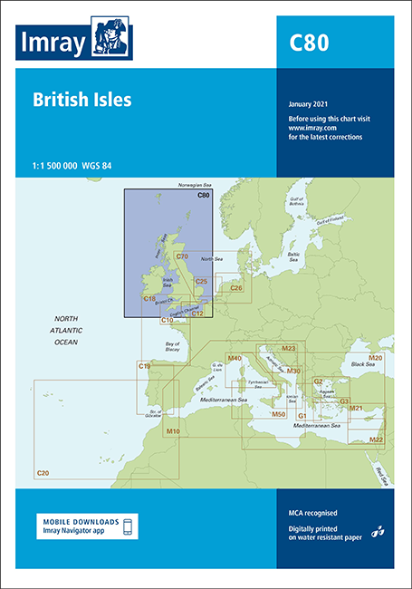
Mit Hilfe unserer Gebietsvorschau erhalten Sie einen Eindruck davon, mit welcher geografischen Region sich das Produkt auseinandersetzt oder welche Gebiete eine Seekarte abdeckt.
Verwandte Produkte zu diesem Artikel
Verwandte Produkte zu diesem Artikel
Produkte in der Nähe dieses Artikels
Produkte in der Nähe dieses Artikels
Bewertungen
0 von 0 Bewertungen
Anmelden


