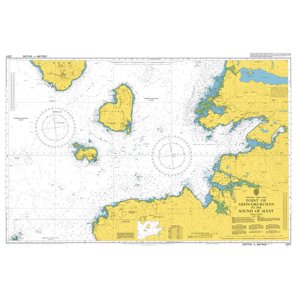
SC5616 Scotland - Point of Ardnamurchan to Shaint Islands
Beschreibung
Kartensatz wurde eingezogen, Einzelblätter sind im Print-on-Demand Verfahren erhältlich - bei Interesse kontaktieren Sie uns gerne!
Kartensatz wurde eingezogen, Einzelblätter sind im Print-on-Demand Verfahren erhältlich - bei Interesse kontaktieren Sie uns gerne!
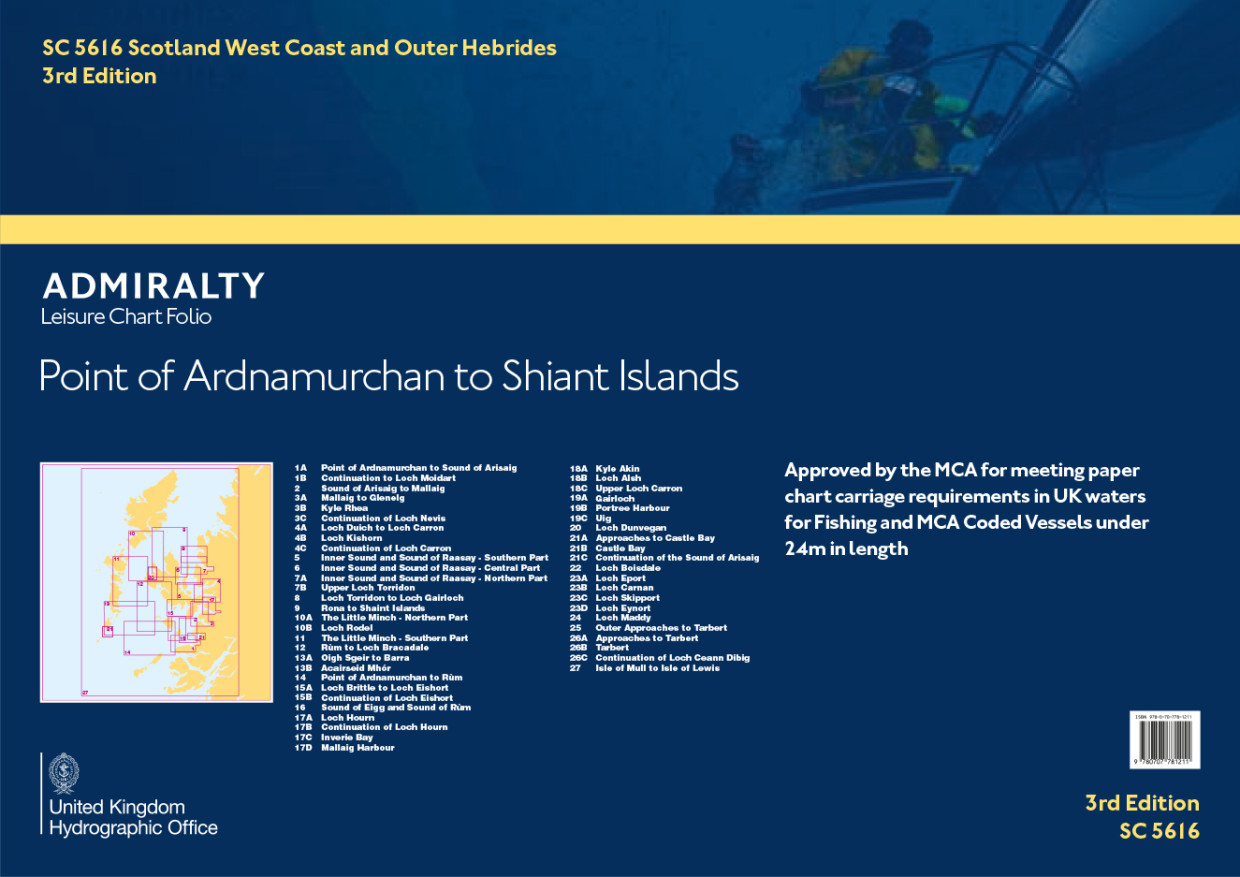
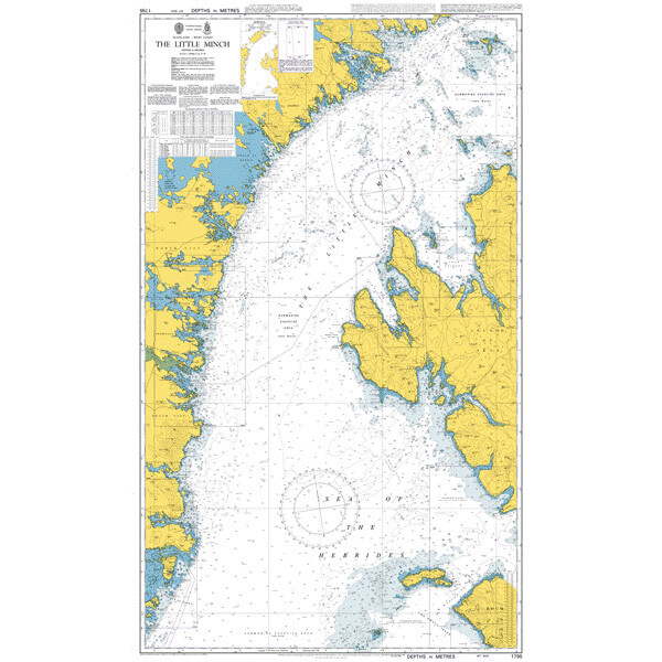
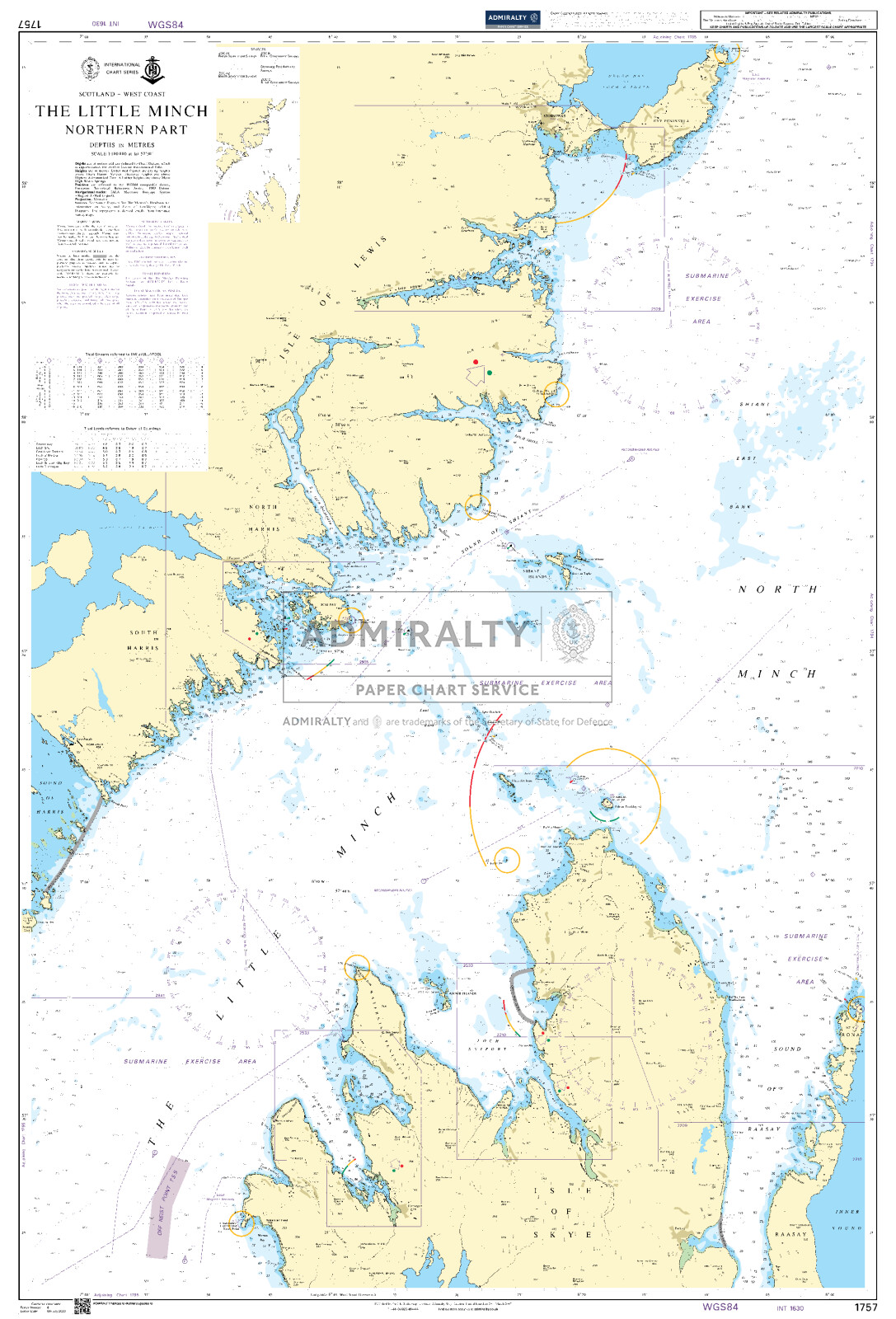
ADMIRALTY SC5602 - West Coast Scotland, Point of Ardnamurchan to Shiant Islands - ist ein amtlicher Sportbootkartensatz für die inneren Hebriden (Skye) und Ostküsten der äußeren Hebriden bis Tarbert. Die Seegebiete "The little Minch" und "Sea of the Hebrides" sowie die Inseln Skye, Rum und Eigg sind detailliert kartiert.
Der Kartensatz ist für die Sportschifffahrt konzipiert und ist zusätzlich von der britischen Maritime and Coastguard Agency (MCA) für ausrüstungspflichtige Schiffe bis 24m Länge zugelassen.
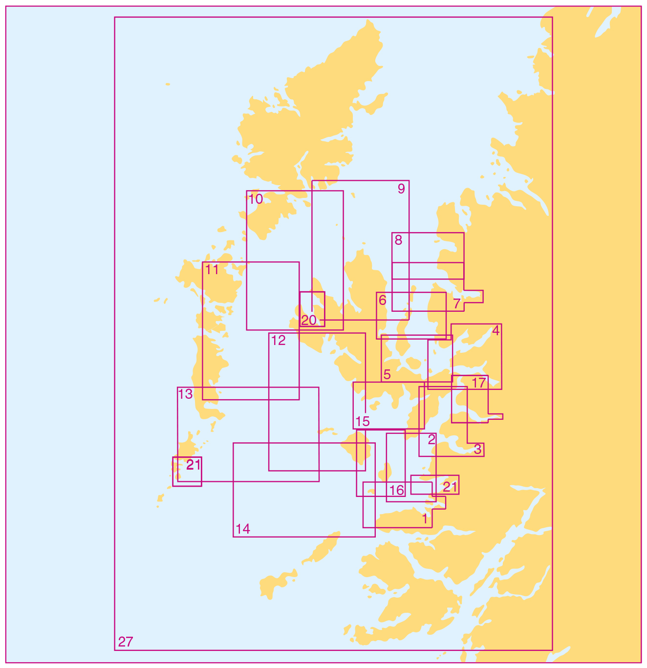
Abdeckung und Kartenliste:
Der Satz SC5616 enthält unter anderem die Seekarten für die Ansteuerungen in die Häfen von Mallaig, Portree, Uig, Kyle of Lochalsch, Castlebay, Loch Boisdale und Tarbert.
Im einzelnen sind folgende Karten enthalten:
Übersegler
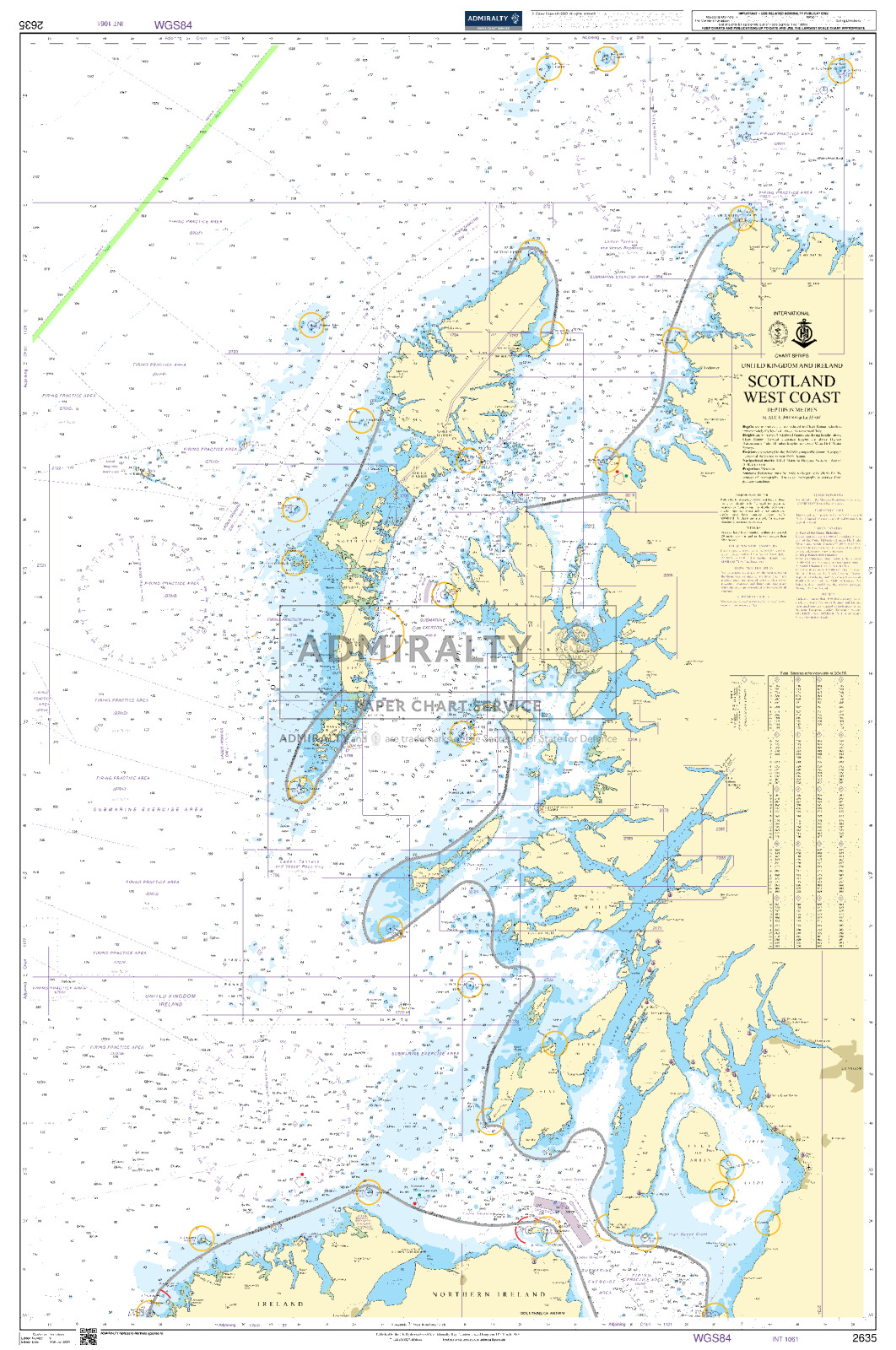
27. Isle of Mull to Isle of Lewis - 1:500.000
Revierkarten
9. Rona to Shaint Islands - 1:100.000
10A. The Little Minch - Northern Part - 1:100.000
11. The Little Minch - Southern Part - 1:100.000
12. Rum to Loch Bracadale - 1:100.000
13A. Oigh Sgeir to Barra - 1:100.000
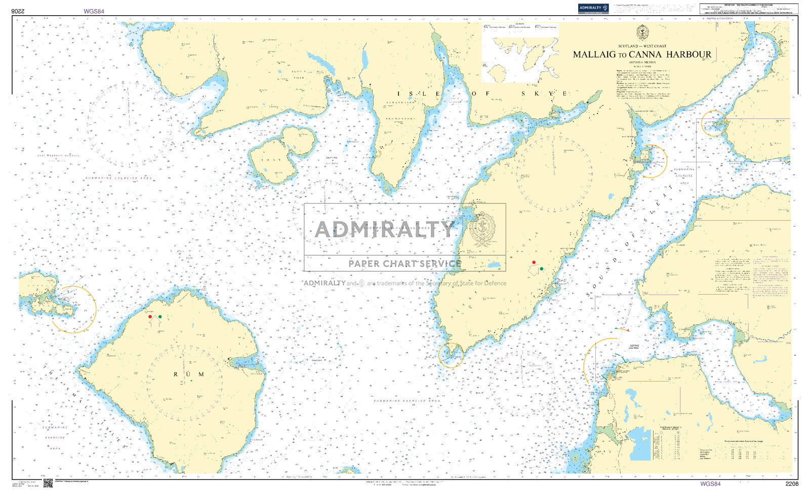
14. Point of Ardamurchan to Rum - 1:100.000
Details
1A. Point of Ardnamurchan to Sound of Arisaig
1B. Continuation to Loch Moidart
2. Sound of Arsaig to Mallaig
3A. Mallaig to Gleneig
3B. Kyle Rhea
3C. Continuation of Loch Nevis
4A. Loch Duich to Loch Carron
4B. Loch Kishorn
4C. Continuation of Loch Carron
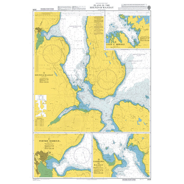
5. Inner Sound and Sound of Raasay - Southern Part
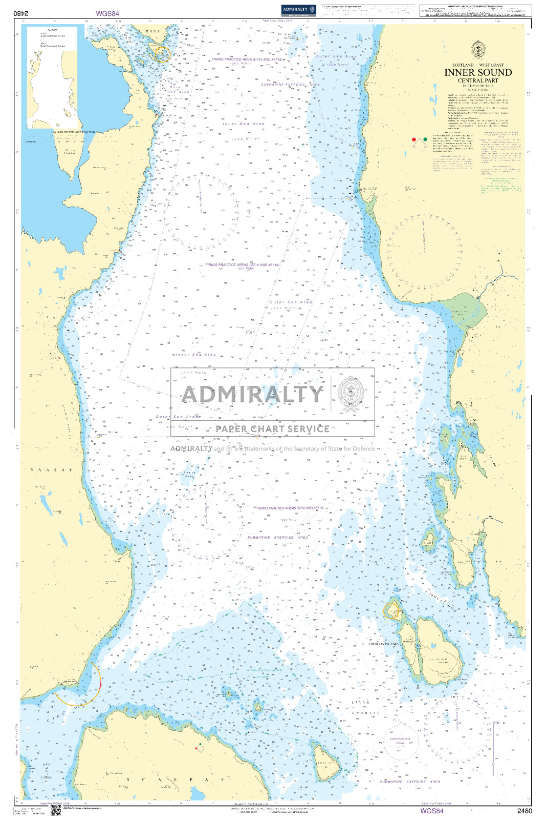
6. Inner Sound and Sound of Raasay - Central Part
7A. Inner Sound and Sound of Raasay - Northern Part
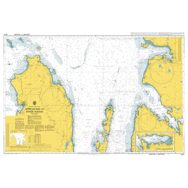
7B. Upper Loch Torridon
8. Loch Torridon to Loch Gairloch
10B. Loch Rodel
13B. Acairseid Mhor
15A. Soay to Loch Eishort
15B. Continuation to Loch Eishort
16. Sound of Eigg and Sound of Rum
17A. Loch Hourn
17B. Continuation of Loch Hourn
17C. Inverie Bay
17D. Mallaig Harbour
18A. Kyle Akin
18B. Loch Alsh
18C. Upper Loch Carron
19A. Gairloch
19B. Portree Harbour
19C. Uig
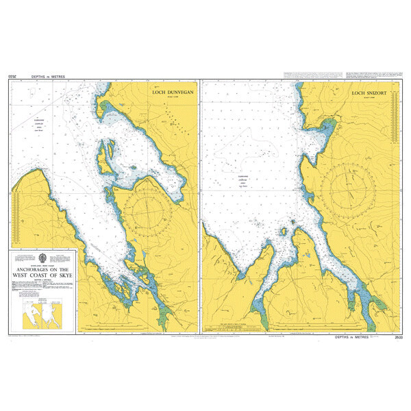
20. Loch Dunvegan
21A. Approaches to Castle Bay
21B. Castle Bay
21C. Continuation to Sound of Arisaig
22. Loch Boisdale
23A. Loch Eynort
23B. Loch Skipport
23C. Loch Carnan
23D. Loch Eport
24. Loch Maddy
25. Outer Approaches to Tarbet
26A. Approaches to Tarbet
26B. Tarbet
26C. Continuation of Loch Ceann Dibig
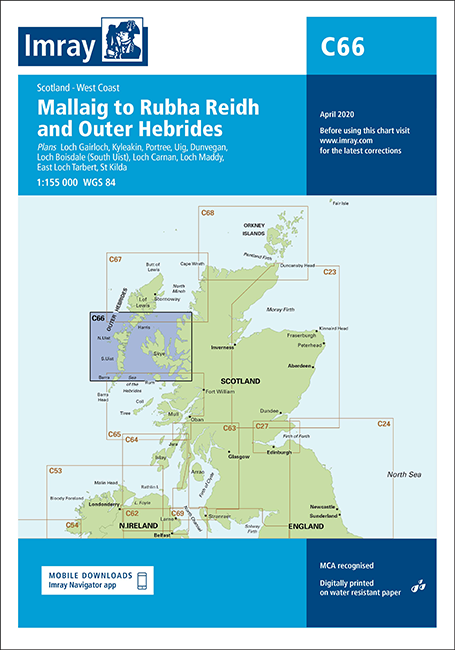
Mit Hilfe unserer Gebietsvorschau erhalten Sie einen Eindruck davon, mit welcher geografischen Region sich das Produkt auseinandersetzt oder welche Gebiete eine Seekarte abdeckt.
Verwandte Produkte zu diesem Artikel
Produkte in der Nähe dieses Artikels
Bewertungen
Anmelden

