Zum Hauptinhalt springen Zur Suche springen Zur Hauptnavigation springen

Navigieren Sie mit dieser Seekarte optimal in der Hebridensee und westlich der Hebrideninseln.

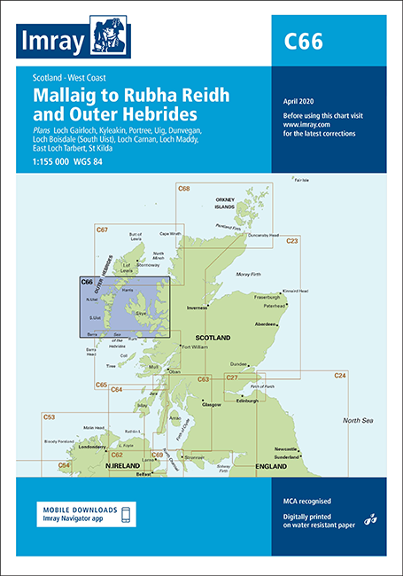
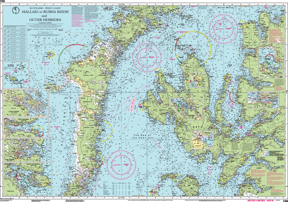
Die Chart C66 Seekarte vom englischen Kartenhersteller Imray stellt die geschützte Hebridensee sowie den Nordatlantik westlich der Hebrideninseln dar. In dieser Ausgabe wurden die neuesten Tiefenmessungen durchgängig angewendet. Die Änderungen in den Schießübungsbereichen sind eingearbeitet und es wurden allgemeine Aktualisierungen vorgenommen. Die kompakten Faltkarten von Imray geben eine Übersicht über eine bestimmte Region. Alle Karten sind auf stabilem und wasserfesten Papier gedruckt. 

  • Seekartenformat: 78,7 x 111,8 cm
  • Maßstab ist 1 : 155.000
  • Die Karten sind in dem verlagseigenen Farbbild (Wasser blau, Flachwasser weiß, Land grün) gehalten. 
  • Lieferung in durchsichtiger Plastiktasche.

Enthaltene Detailkarten:

  • Loch Gairloch (1:40 000)
  • Kyleakin (1:40 000)
  • Portree (1:25 000)
  • Uig (1:35 000)
  • Dunvegan (1:40 000)
  • Loch Boisdale (South Uist) (1:25 000)
  • Loch Carnan (1:20 000)
  • Loch Maddy (1:40 000)
  • East Loch Tarbert (1:60 000)
  • St Kilda (1:150 000)

0 von 0 Bewertungen

Durchschnittliche Bewertung von 0 von 5 Sternen

Bewerten Sie dieses Produkt!

Teilen Sie Ihre Erfahrungen mit anderen Kunden.


Gebietsvorschau

Mit Hilfe unserer Gebietsvorschau erhalten Sie einen Eindruck davon, mit welcher geografischen Region sich das Produkt auseinandersetzt oder welche Gebiete eine Seekarte abdeckt.

Revierführer

Gebietsvorschau für CCC Ardnamurchan to Cape Wrath öffnen
CCC Ardnamurchan to Cape Wrath

48,50 €*
Gebietsvorschau für Outer Hebrides öffnen
Outer Hebrides
CCC Sailing Directions and Anchorages - Outer Hebrides

45,80 €*
The Yachtman's Pilot to Skye and Northwest Scotland
Cape Wrath to Ardnamurchan. The Yachtman‘s Pilot. Alle nautischen Informationen. Großformat, viele farbige Luftaufnahmen, Karten und Pläne, in englischer Sprache, 2010 (3. Auflage).

36,80 €*

Flaggen

Gastlandflagge Schottland 20x30cm - Glanzpolyester -
Größe: 20x30cm
.

7,90 €*

Verwandte Produkte zu diesem Artikel

Gebietsvorschau für IMRAY Chart C65 Crinan to Mallaig and Barra öffnen
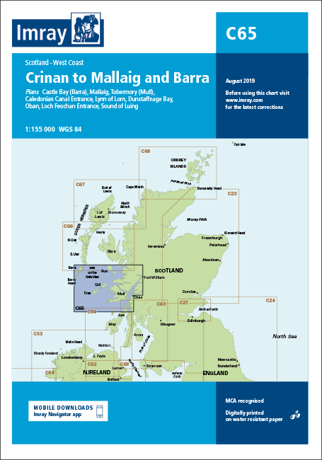
IMRAY Chart C65 Crinan to Mallaig and Barra
Crinan to Mallaig and Barra, Scotland, West Coast.

37,90 €*
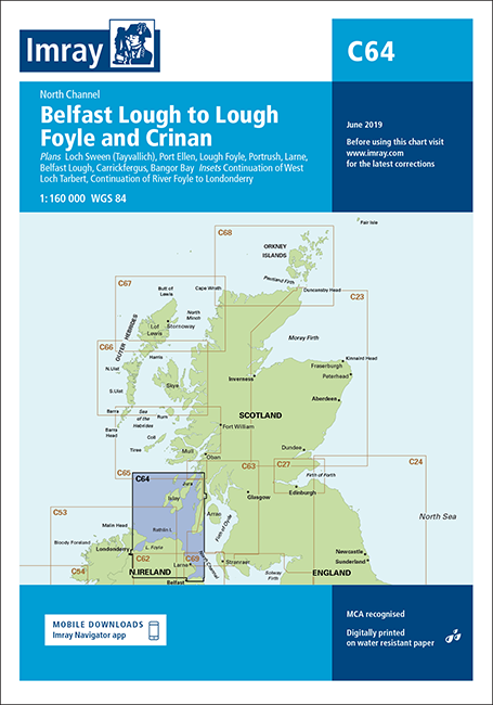
Gebietsvorschau für IMRAY CHART C64 North Channel, Belfast Lough to Lough Foyle and Crinan öffnen
IMRAY CHART C64 North Channel, Belfast Lough to Lough Foyle and Crinan
Belfast Lough to Lough Foyle and Crinan, North Channel.

37,90 €*
Gebietsvorschau für IMRAY CHART C67 North Minch and Isle of Lewis öffnen
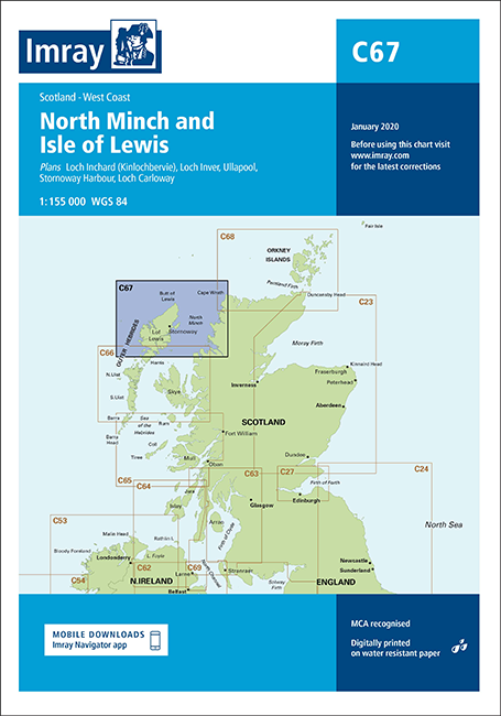
IMRAY CHART C67 North Minch and Isle of Lewis
North Minch and Isle of Lewis.

37,90 €*
Gebietsvorschau für IMRAY CHART C61 St George's Channel, Anglesey to Dublin, Waterford and the Smalls öffnen
IMRAY CHART C61 St George's Channel, Anglesey to Dublin, Waterford and the Smalls
St George' Channel, Anglesey to Dublin, Waterford and the Smalls. Wales and East Coast of Ireland

37,90 €*
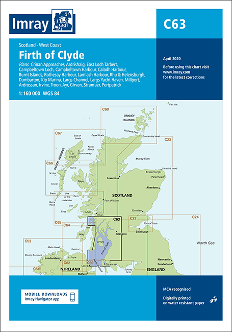
Gebietsvorschau für IMRAY CHART C63 Firth of Clyde öffnen
IMRAY CHART C63 Firth of Clyde
Firth of Clyde, Scotland, West Coast.

37,90 €*
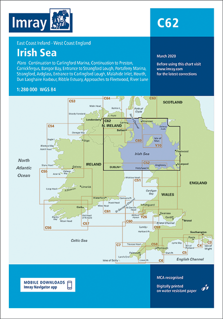
Gebietsvorschau für IMRAY CHART C62 Irish Sea öffnen
IMRAY CHART C62 Irish Sea
Irish Sea, East Coast Ireland, West Coast England.

37,90 €*

Ähnliche Artikel

Gebietsvorschau für IMRAY CHART C60 Gower Peninsula to Cardigan öffnen
IMRAY CHART C60 Gower Peninsula to Cardigan
Gower Peninsula to Cardigan.

37,90 €*
Gebietsvorschau für IMRAY CHART C64 North Channel, Belfast Lough to Lough Foyle and Crinan öffnen
IMRAY CHART C64 North Channel, Belfast Lough to Lough Foyle and Crinan
Belfast Lough to Lough Foyle and Crinan, North Channel.

37,90 €*
Gebietsvorschau für IMRAY CHART C10 Western English Channel Übersegler öffnen
IMRAY CHART C10 Western English Channel Übersegler
Faltkarte des Englischen Kanals

37,90 €*
Gebietsvorschau für IMRAY CHART C53 Donegal Bay to Rathlin Island öffnen
IMRAY CHART C53 Donegal Bay to Rathlin Island
Donegal Bay to Rathlin Island.

37,90 €*
Gebietsvorschau für IMRAY CHART C56 Cork Harbour to Dingle Bay öffnen
IMRAY CHART C56 Cork Harbour to Dingle Bay
Cork Harbour to Dingle Bay

37,90 €*
Gebietsvorschau für IMRAY CHART C1 Thames Estuary Tilbury to North Foreland and Orfordness öffnen
IMRAY CHART C1 Thames Estuary Tilbury to North Foreland and Orfordness
Thames Estuary - Tilbury to North Foreland and Orfordness.

37,90 €*
Gebietsvorschau für IMRAY 2800 Isle of Mull and Adjacent Coasts Chart Pack öffnen
IMRAY 2800 Isle of Mull and Adjacent Coasts Chart Pack
Set für die schottische Westküste mit den Hebriden

74,90 €*
Gebietsvorschau für IMRAY CHART C15 The Solent Bembridge to Hurst Point and Southampton öffnen
IMRAY CHART C15 The Solent Bembridge to Hurst Point and Southampton
Papierfaltkarte "The Solent" für die Südküste Englands

37,90 €*
Gebietsvorschau für IMRAY CHART C8 Dover Strait North Foreland to Beachy Head and Boulogne öffnen
IMRAY CHART C8 Dover Strait North Foreland to Beachy Head and Boulogne
Dover Strait - North Foreland to Beachy Head and Boulogne

37,90 €*
Gebietsvorschau für IMRAY CHART C25 Harwich to River Humber and Holland öffnen
IMRAY CHART C25 Harwich to River Humber and Holland
Harwich to River Humber and Holland - Passage Chart

37,90 €*
Gebietsvorschau für IMRAY CHART C18 Western Approaches to the English Channel & Bay of Biscay öffnen
IMRAY CHART C18 Western Approaches to the English Channel & Bay of Biscay
Übersichtskarte "Western Approaches to the Englisch Channel and Bay of Biscay" für Frankreich, England und Nordspanien

37,90 €*
Gebietsvorschau für IMRAY CHART C51 Cardigan Bay Milford Haven to Tremadog Bay öffnen
IMRAY CHART C51 Cardigan Bay Milford Haven to Tremadog Bay
Cardigan Bay - Milford Haven to Tremadoc Bay.

37,90 €*