Zum Hauptinhalt springen Zur Suche springen Zur Hauptnavigation springen

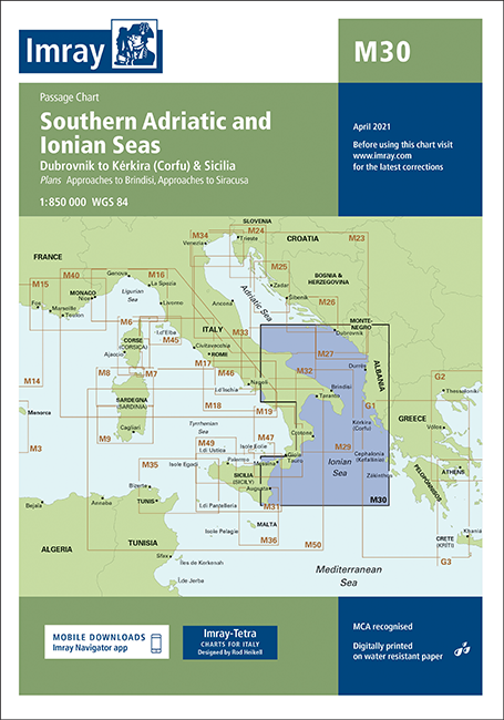
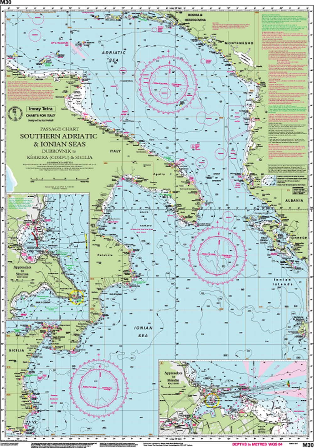
Südliche Adria & Ionisches Meer - Dubrovnik - Kerkira & Sizilien.

Karte Passage:
Maßstab: 1:850 000 WGS84

Enthaltene Pläne:

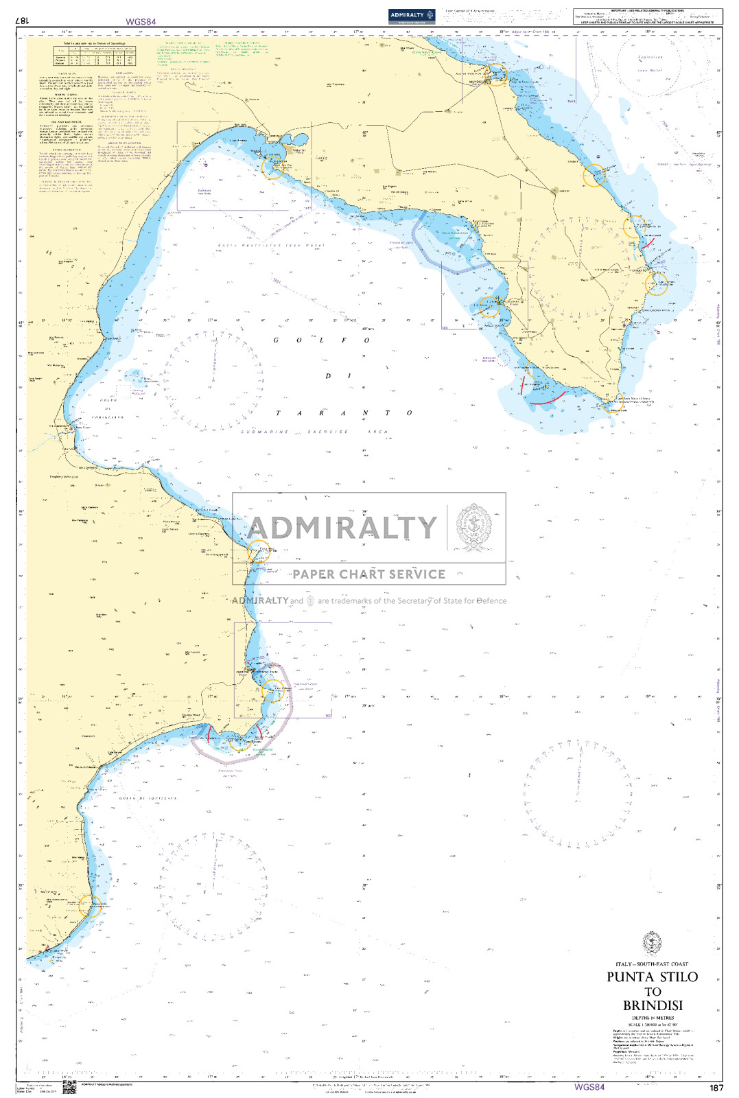
Zufahrten zu Brindisi (1:35 000)
Zufahrten nach Siracusa (1:50 000)

In dieser Ausgabe ist die geänderte TSS in Brindisi nun zusammen mit den überarbeiteten Tiefen eingezeichnet.

0 von 0 Bewertungen

Durchschnittliche Bewertung von 0 von 5 Sternen

Bewerten Sie dieses Produkt!

Teilen Sie Ihre Erfahrungen mit anderen Kunden.


Gebietsvorschau

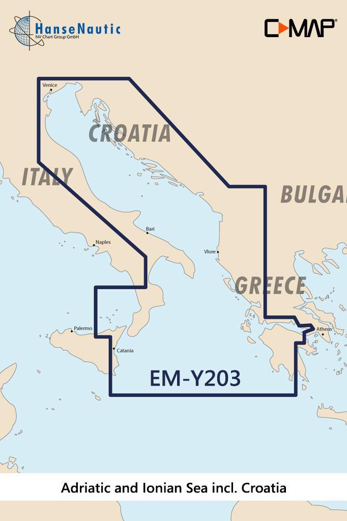
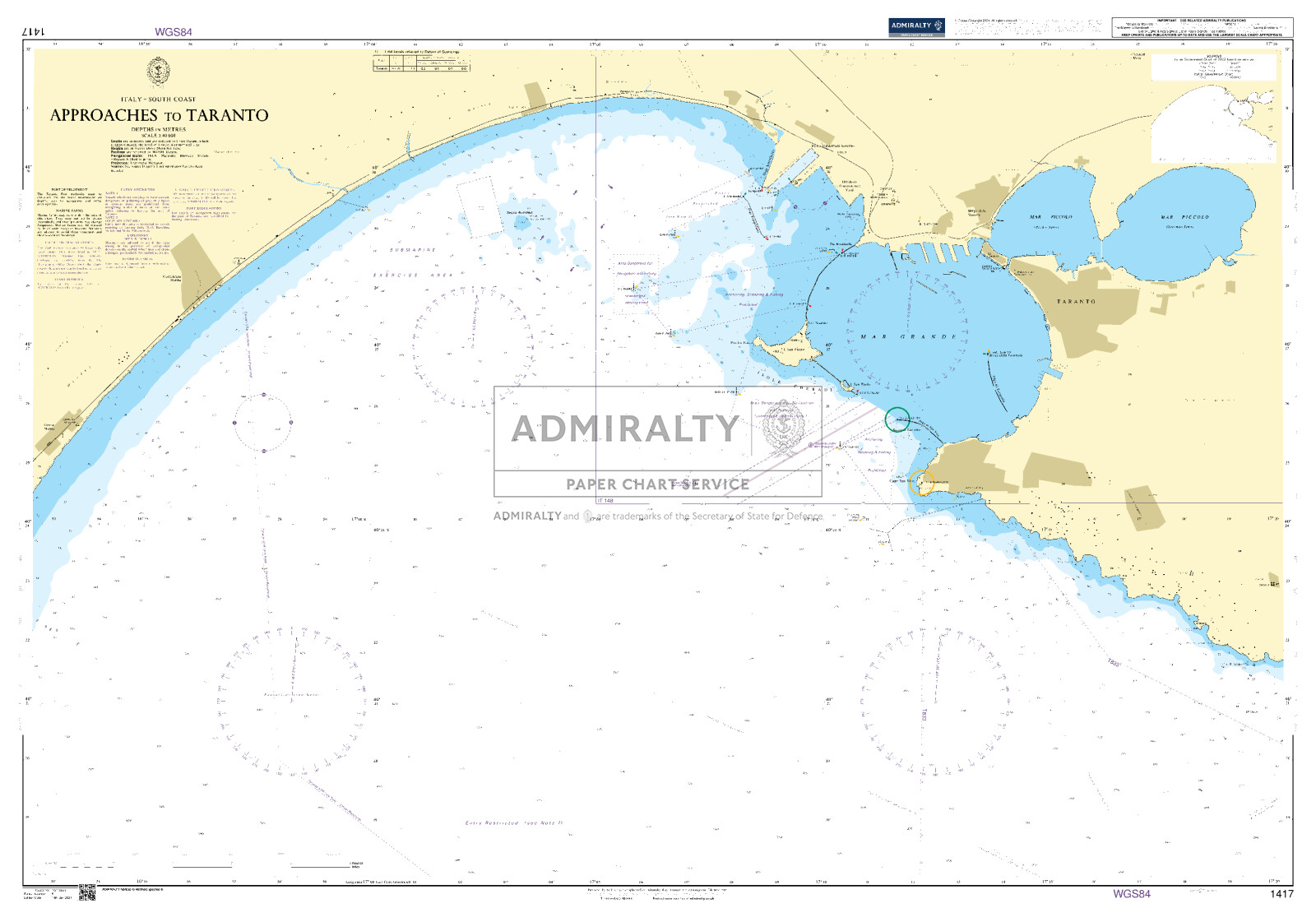
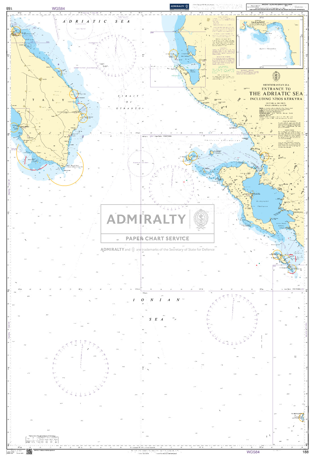
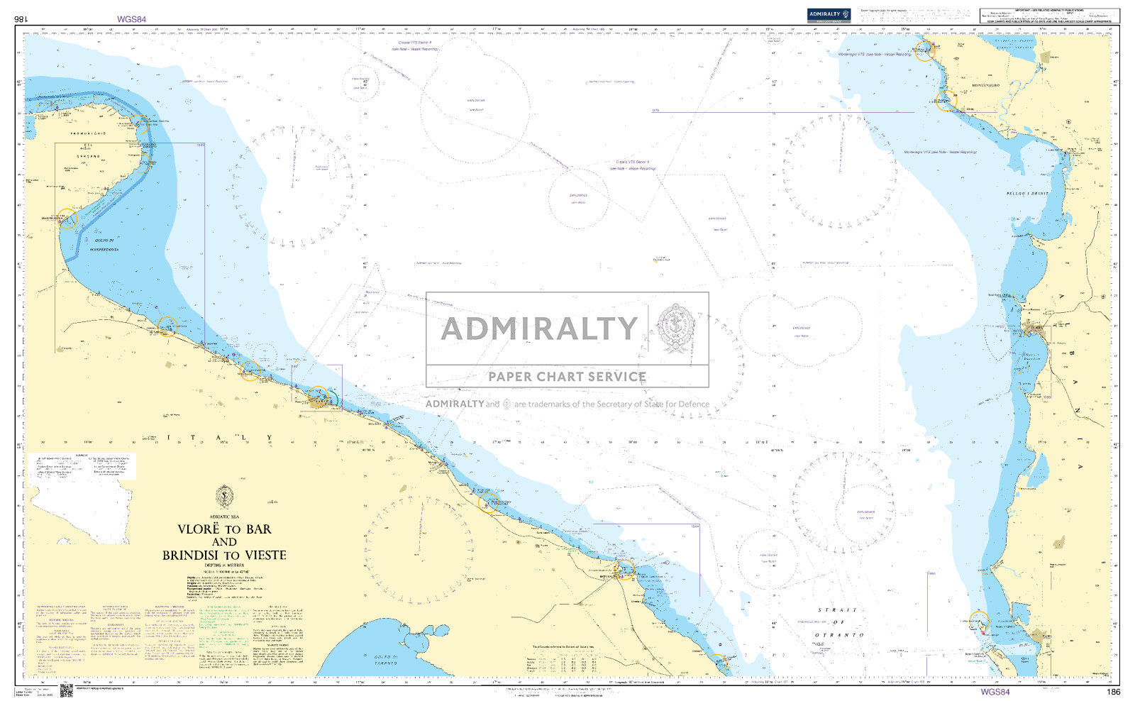
Mit Hilfe unserer Gebietsvorschau erhalten Sie einen Eindruck davon, mit welcher geografischen Region sich das Produkt auseinandersetzt oder welche Gebiete eine Seekarte abdeckt.

Verwandte Produkte zu diesem Artikel

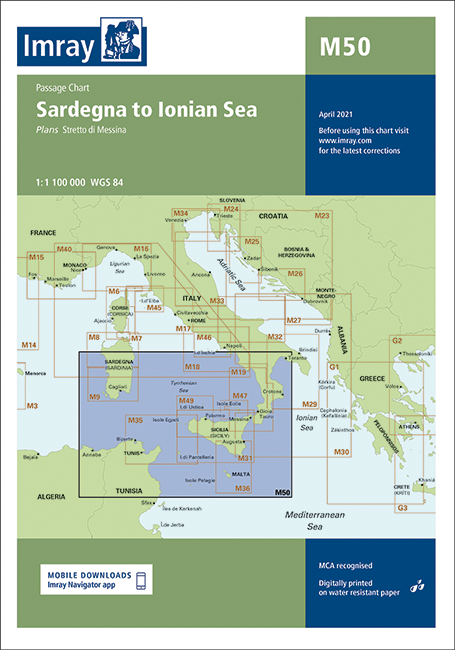
Gebietsvorschau für IMRAY CHART M50 öffnen
IMRAY CHART M50
Sardinien bis zum Ionischen Meer

31,90 €*
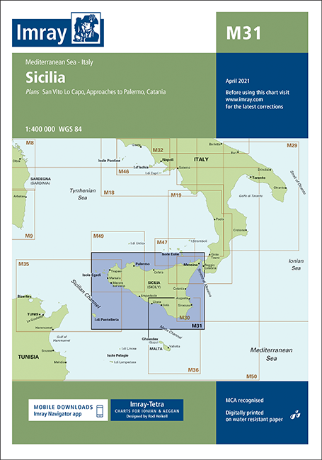
Gebietsvorschau für IMRAY CHART M31 öffnen
IMRAY CHART M31
Sizilien

31,90 €*
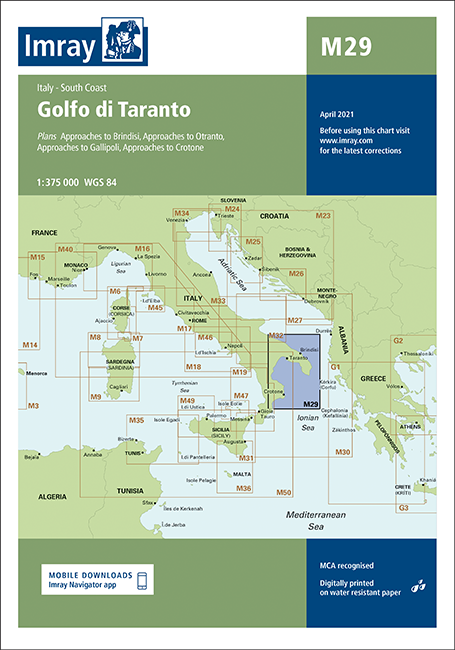
Gebietsvorschau für IMRAY CHART M29 öffnen
IMRAY CHART M29
Golfo di Taranto. Italien, Südküste

31,90 €*
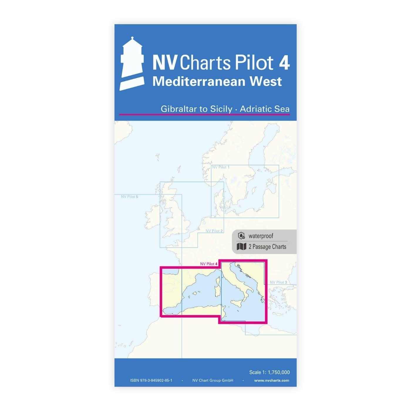
Gebietsvorschau für NV Charts Pilot 4 - Mediterranean West, Gibraltar to Sicily Adriatic Sea öffnen
NV Charts Pilot 4 - Mediterranean West, Gibraltar to Sicily Adriatic Sea
Planungskarte für das westliche Mittelmeer

24,99 €*
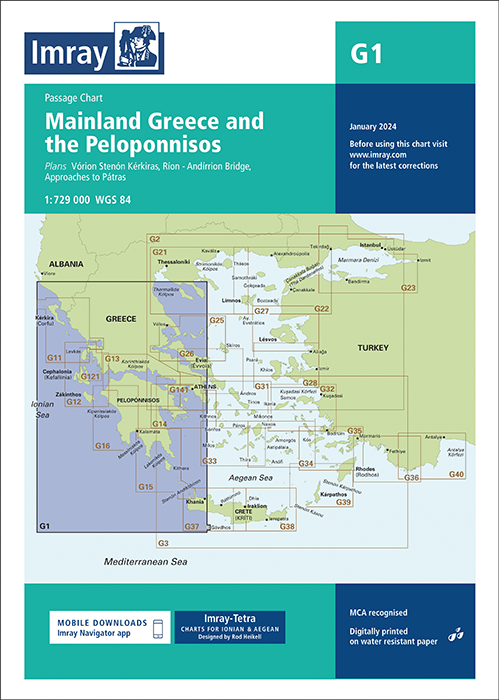
Gebietsvorschau für IMRAY CHART G1 Mainland Greece and the Peloponnisos öffnen
IMRAY CHART G1 Mainland Greece and the Peloponnisos
Mainland Greece and the Peloponnisos

31,90 €*
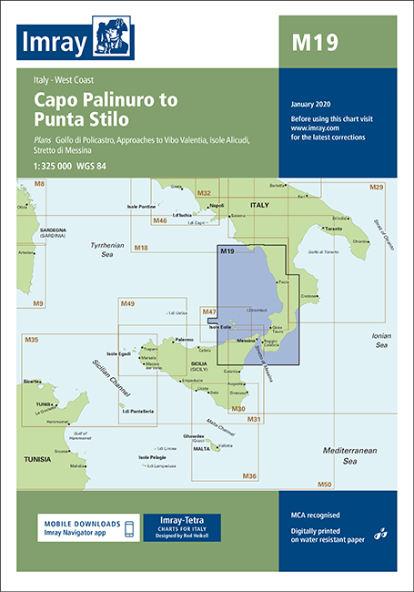
Gebietsvorschau für IMRAY CHART M19 öffnen
IMRAY CHART M19
Von Capo Palinuro nach Punta Stilo

31,90 €*

Ähnliche Artikel

Gebietsvorschau für IMRAY CHART M40 öffnen
IMRAY CHART M40
Ligurisches und Tyrrhenisches Meer.

31,90 €*
Gebietsvorschau für IMRAY CHART M45 öffnen
IMRAY CHART M45
Toskanisches Archipel

31,90 €*
Gebietsvorschau für IMRAY CHART M16 öffnen
IMRAY CHART M16
Ligurisches Meer

31,90 €*
Gebietsvorschau für IMRAY CHART M36 öffnen
IMRAY CHART M36
Südküste von Sizilien nach Malta

31,90 €*
Gebietsvorschau für IMRAY CHART M29 öffnen
IMRAY CHART M29
Golfo di Taranto. Italien, Südküste

31,90 €*
Gebietsvorschau für GR PC 19 öffnen
GR PC 19
N. Antipaxio to Kyparrisia. Diese griechische Sportbootkarten sind Seekarte und Pilot Chart in einem. Sie sind beidseitig farbig auf wasserfestem Papier gedruckt und werden gefaltet auf das Format...

22,00 €*
Gebietsvorschau für IMRAY CHART G1 Mainland Greece and the Peloponnisos öffnen
IMRAY CHART G1 Mainland Greece and the Peloponnisos
Mainland Greece and the Peloponnisos

31,90 €*
Gebietsvorschau für Gardasee 1:50.000 öffnen
Gardasee 1:50.000
Karte 1:50.000, 4-farbig, diverse Detailkarten, 2015.

29,50 €*
Gebietsvorschau für IMRAY CHART G12 South Ionian Islands Nisos Levkas to Nisos Zakinthos öffnen
IMRAY CHART G12 South Ionian Islands Nisos Levkas to Nisos Zakinthos
South Ionian Islands - Nisos Levkas to Nisos Zákinthos.

31,90 €*
Gebietsvorschau für IMRAY CHART M18 öffnen
IMRAY CHART M18
Capo d'Anzio nach Capo Palinuro

31,90 €*
Gebietsvorschau für NV Charts Italy IT4 - Sardinia West öffnen
NV Charts Italy IT4 - Sardinia West
Seekarten für die Westküste Sardiniens

64,99 €*
Gebietsvorschau für IMRAY CHART M46 öffnen
IMRAY CHART M46
Isole Pontine bis zum Golf von Neapel

31,90 €*