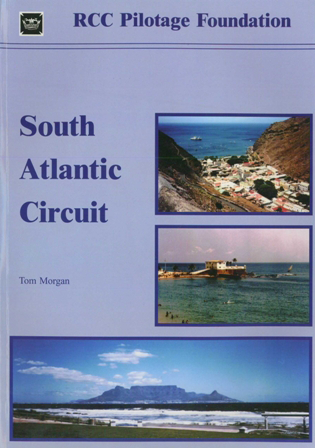
South Atlantic Circuit

Karten Nr.: RB0185

39,80 €*


Produktnummer: 22415
Hersteller-Nr.: RB0185

Beschreibung

A comprehensive reference work for anyone wishing to travel the South Atlantic Ocean and explore the coastlines of Brazil, Uruguay and Argentina, the South Atlantic Islands, Namibia and South Africa. Apart from general information on navigation, weather, communication and the countries the book concentrates on major destinations around the South Atlantic. More on ports you will find in 'Havens and Anchorages' (Best.-Nr. 35248). 169 Seiten, viele Fotos, Skizzen undzweifarbige Pläne, Großformat, 2002.
Gebietsvorschau

Mit Hilfe unserer Gebietsvorschau erhalten Sie einen Eindruck davon, mit welcher geografischen Region sich das Produkt auseinandersetzt oder welche Gebiete eine Seekarte abdeckt.

Produkte in der Nähe dieses Artikels

Produkte in der Nähe dieses Artikels

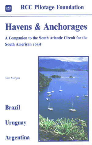
Havens and Anchorages
A companion to ‘South Atlantic Circuit‘ considering the smaller havens from Natal, Brazil to Caleta Carolina, Argentina. Viele Farbfotos und Pläne, Großformat, 2002.

26,80 €*
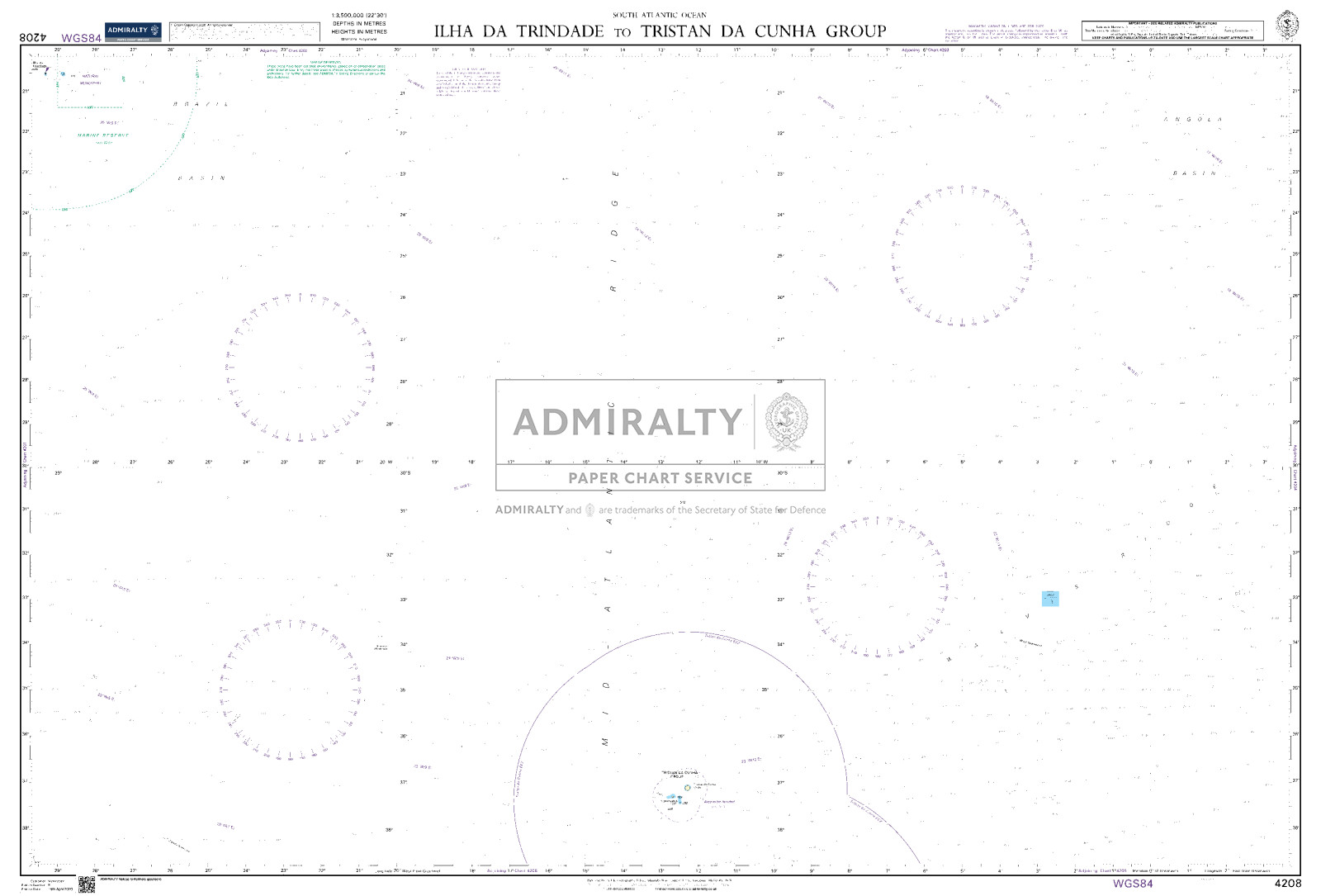
Ilha da Trindade to Tristan da Cunha Group. UKHO4208
Seekarte (Übersichtskarte) als amtliche Publikation für größere Seegebiete.

49,90 €*
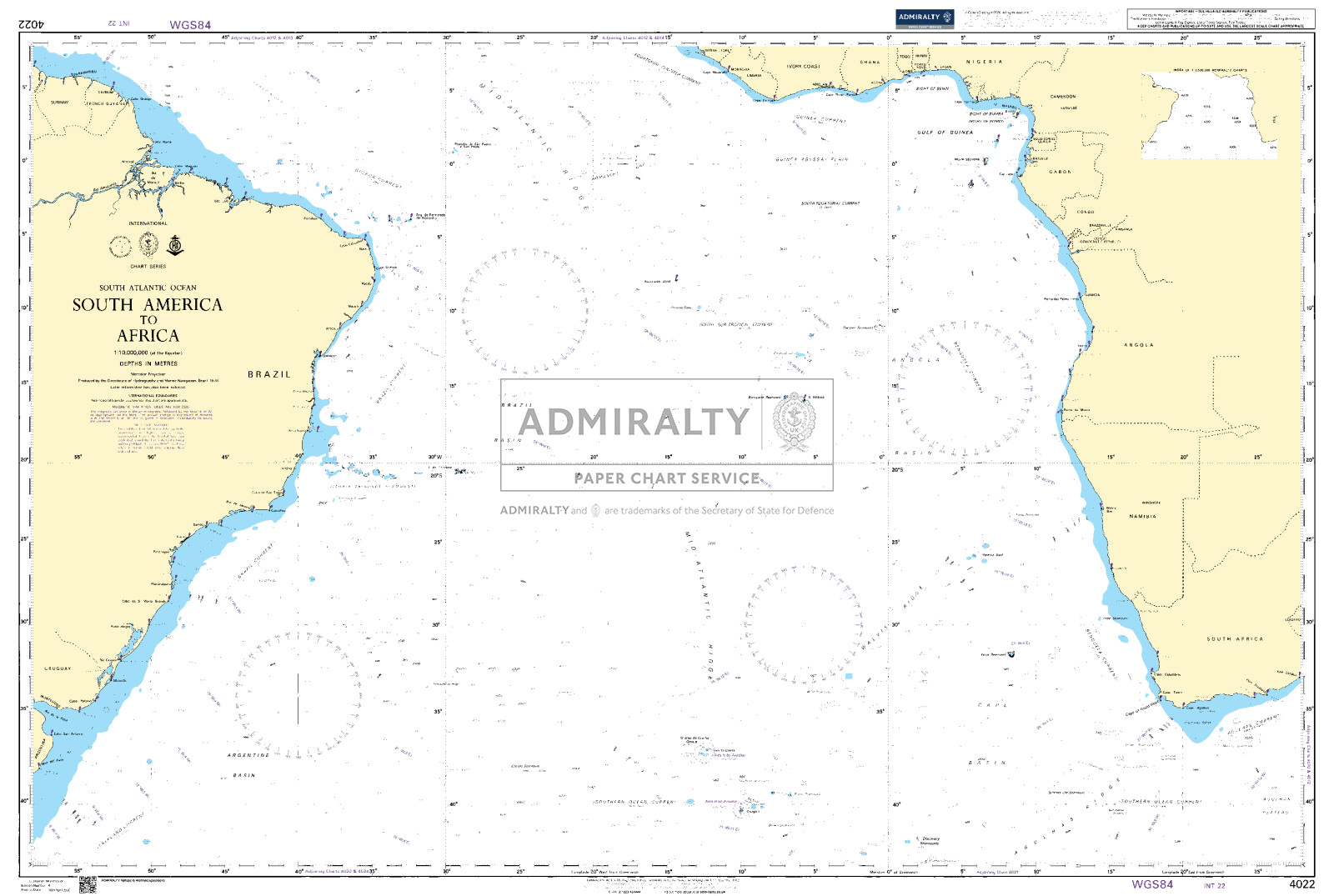
South America to Africa. UKHO4022
Seekarte (Ozeankarte) zur Passageplanung über große Seestrecken.

49,90 €*
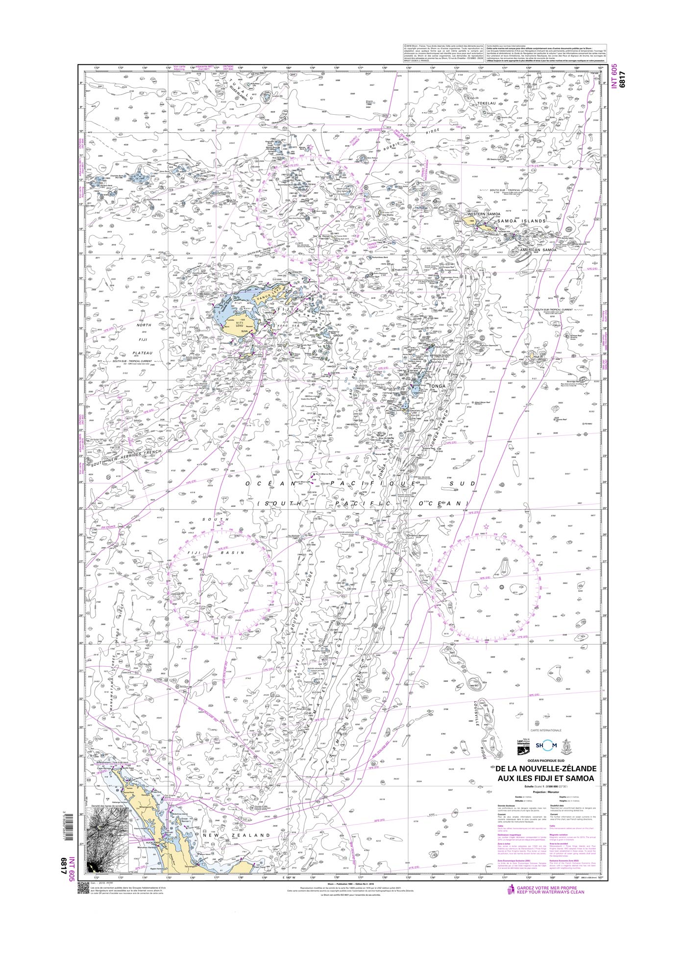
Shom 6817 - INT 605 De la Nouvelle-Zélande aux Iles Fidji et Samoa
De Ksar Menara à Sousse. Tunisie.

38,10 €*
ADMIRALTY NP283(2) RadioSignals - Maritime Safety Information - APAC
List of security and safety related radio services (incl. weather and ice information) for FarEast, Asia, Australia, Pacific and the Americas

89,90 €*
ADMIRALTY NP281(2) RadioSignals - Maritime Radio Stations - APAC
List of Maritime Radio Stations (Küstenfunkstellen, Funkdienste) for Asia, Oceania, Australia, Pacific, Americas

89,90 €*
ADMIRALTY NP282(2) RadioSignals Position Fixing Systems & Time Signals - APAC
List of Radio Aids to Navigation, Differential GPS (DGPS), Legal Time, Time Signals and Electronic Position Fixing System for FarEast, Asia, Australia, Oceania, Pacific and the Americas

89,90 €*
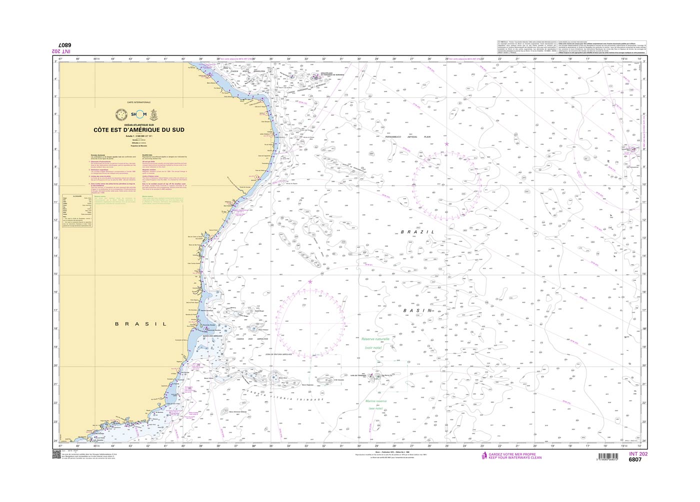
Shom 6807 - INT 202 Côte Est d'Amérique du Sud
De Ksar Menara à Sousse. Tunisie.

38,10 €*
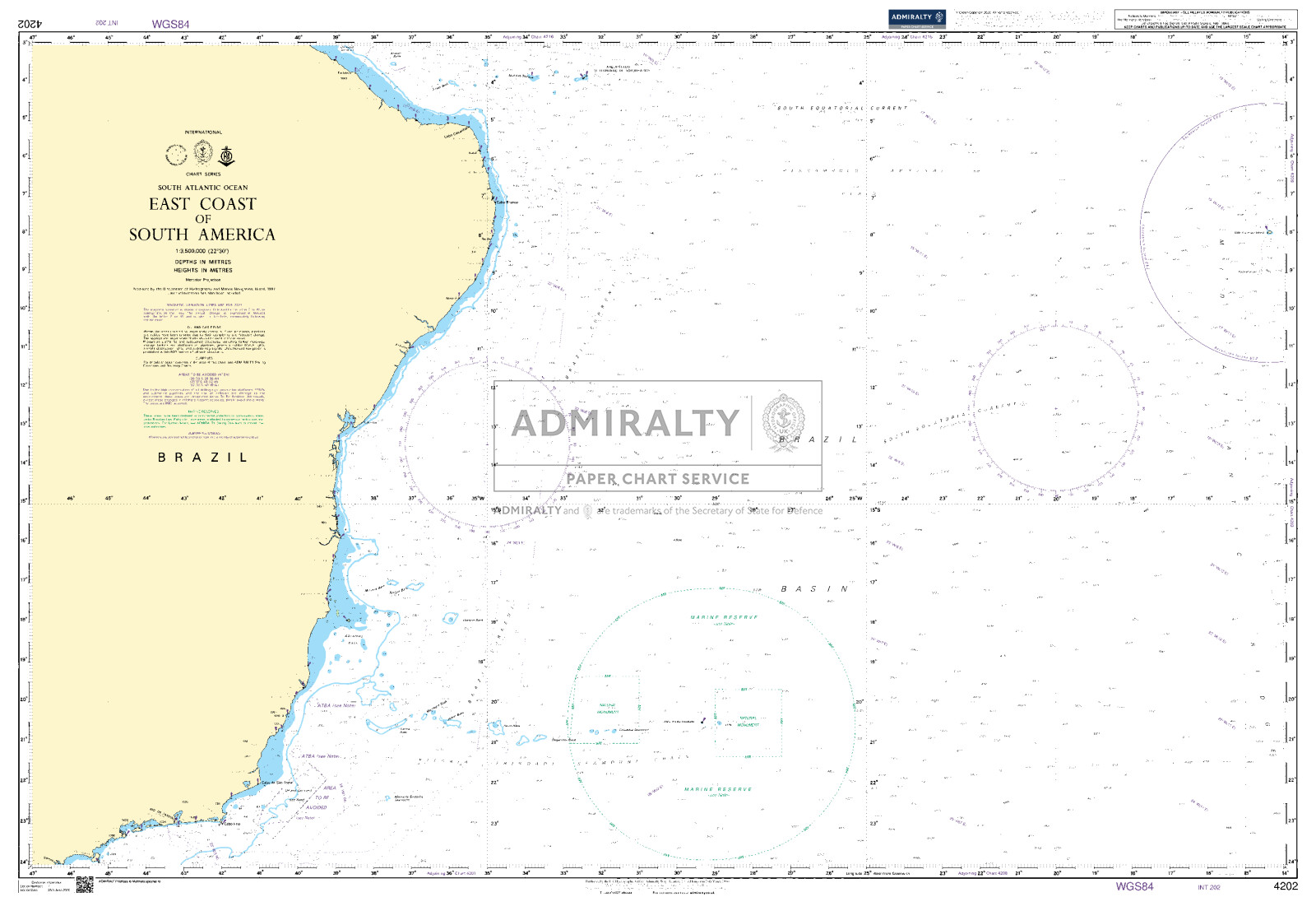
East Coast of South America. UKHO4202
Seekarte (Übersichtskarte) als amtliche Publikation für größere Seegebiete.

49,90 €*
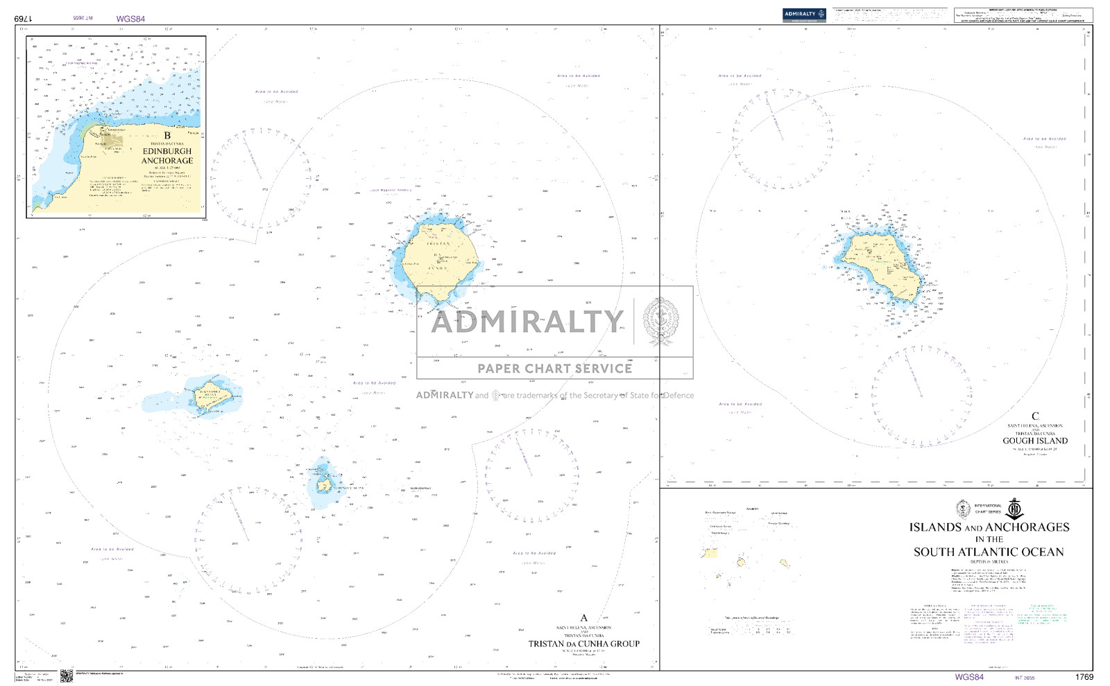
Islands and Anchorages in the South Atlantic Ocean. UKHO1769
Seekarte (Küstenkarte) für die sichere Navigation in küstennahen Gewässern.

49,90 €*
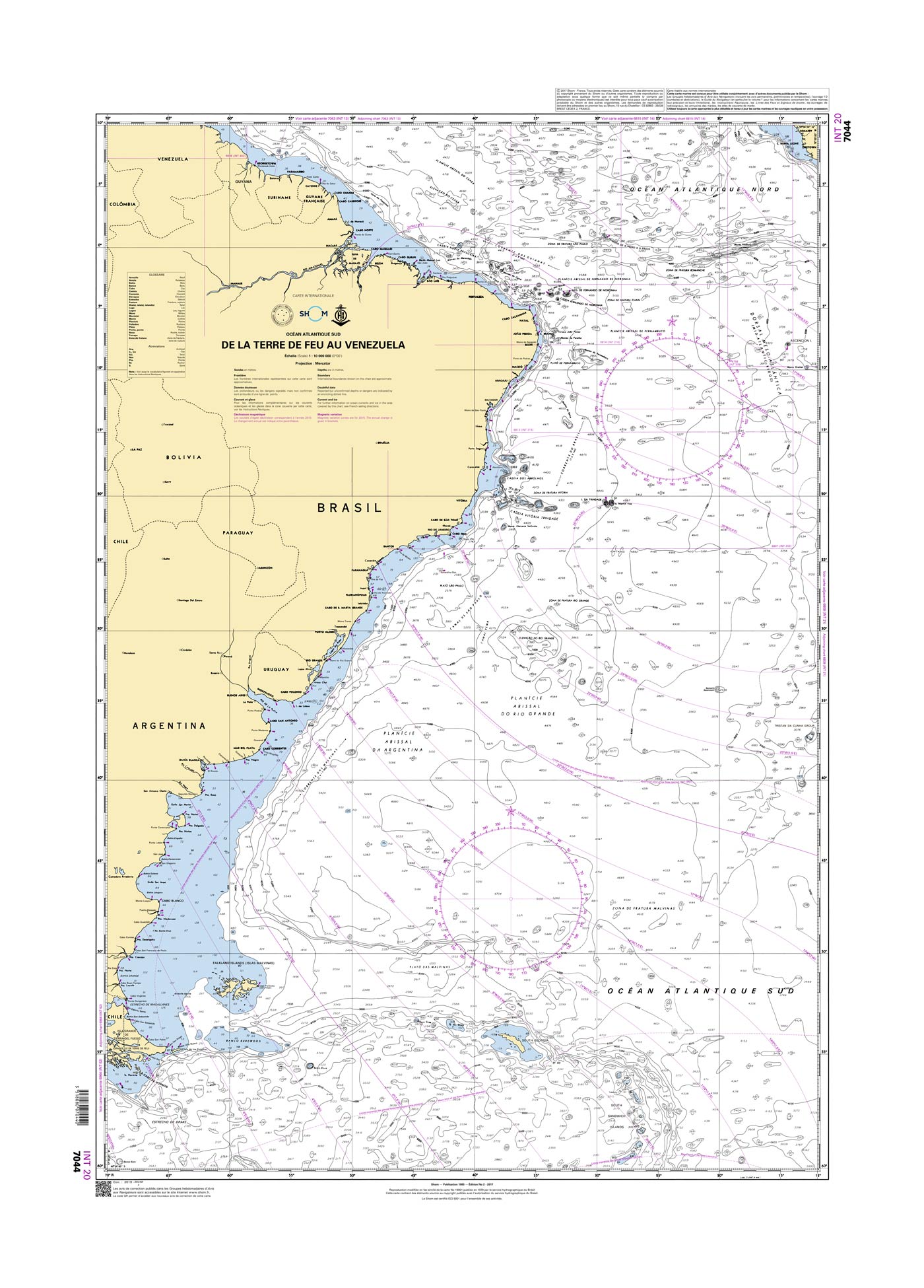
Shom 7044 - INT 20 De la Terre de Feu au Vénézuéla
De Quiberon au Croisic.

38,10 €*

Bewertungen

0 von 0 Bewertungen

Bewerten Sie dieses Produkt!

Teilen Sie Ihre Erfahrungen mit anderen Kunden.