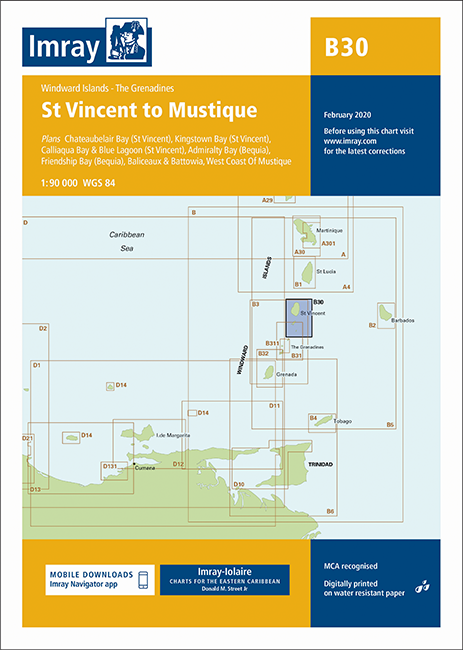
IMRAY CHART B 30

Karten Nr.: ICB30-1
Maßstab: 1:90.000

29,50 €*

 
Produktnummer: 21473
Hersteller-Nr.: ICB30-1

Beschreibung

St. Vincent to Mustique

Windward Islands - The Grenadines (North Sheet)
Scale: 1:90,000 WGS 84

Plans include:

Kingstown Bay (St Vincent)
Calliaqua Bay & Blue Lagoon (St Vincent)
Admiralty Bay (Bequia)
West Coast of Mustique
Baliceaux & Battowia
Friendship Bay (Bequia)
Chateaubelair Bay (St Vincent)
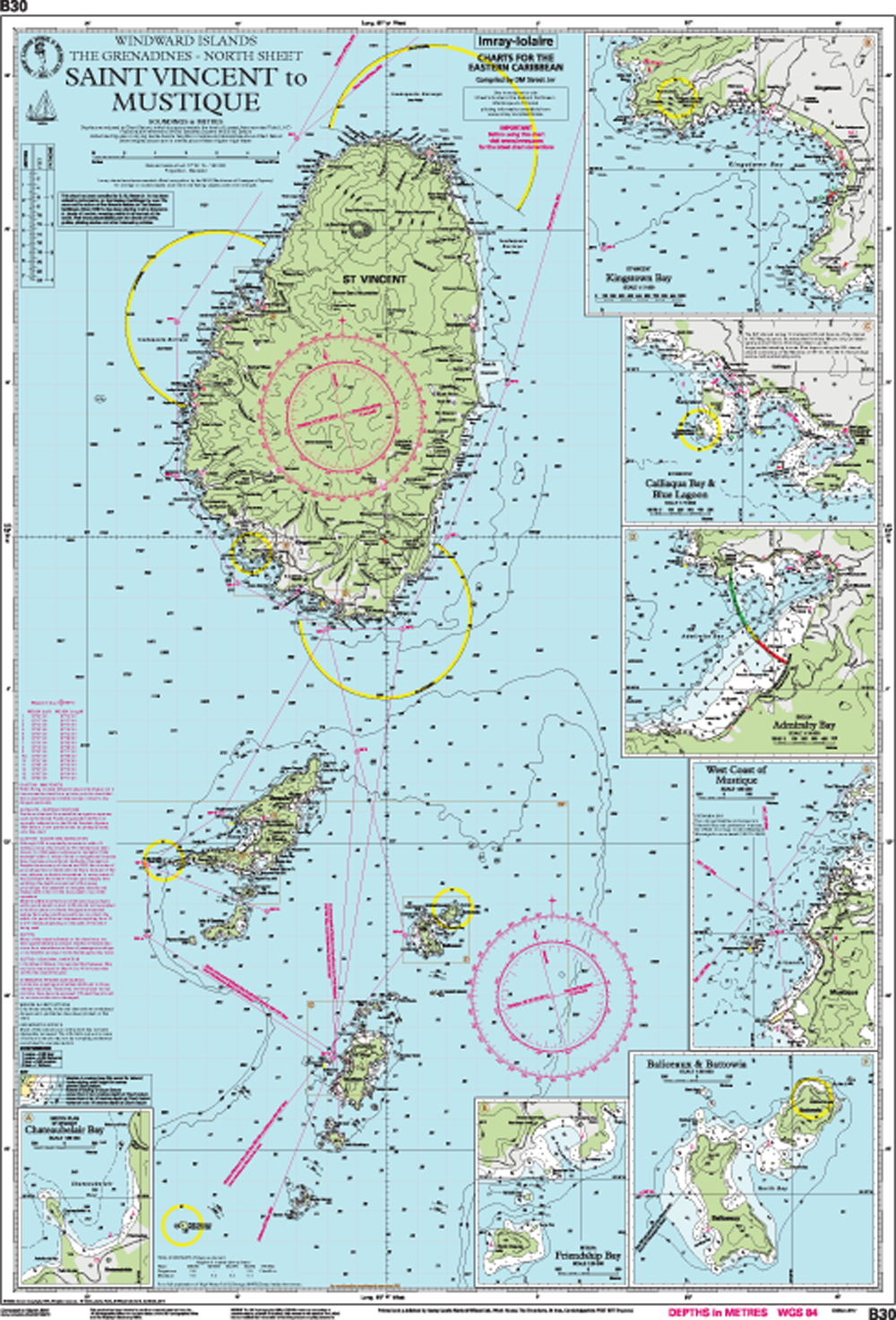
Imray Chart B 30 - preview

Gebietsvorschau

Mit Hilfe unserer Gebietsvorschau erhalten Sie einen Eindruck davon, mit welcher geografischen Region sich das Produkt auseinandersetzt oder welche Gebiete eine Seekarte abdeckt.

Verwandte Produkte zu diesem Artikel

Verwandte Produkte zu diesem Artikel

IMRAY CHART B3 The Grenadines St Vincent to Grenada
The Grenadines - St Vincent to Grenada.

29,50 €*
IMRAY CHART B1 St Lucia
St. Lucia.

29,50 €*
IMRAY CHART B311 Middle Grenadines Canouan to Carriacou
Middle Grenadines: Canouan to Carriacou.Scale: 1:32,500 WGS 84Windward Islands - The GrenadinesOn this 2017 edition the latest depth surveys have been applied where available. The chart speci...

29,50 €*
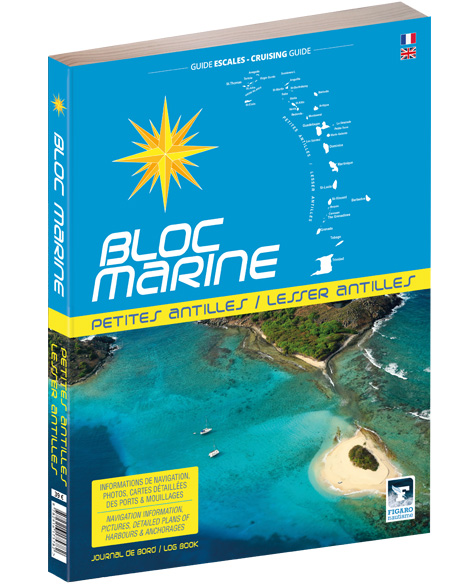
Bloc Marine: Petites Antilles
Umfangreiches Werk zu sämtlichen Häfen der kleinen Antillen mit detaillierten Informationen

39,00 €*
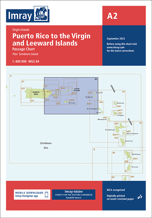
IMRAY CHART A2 Puerto Rico to Virgin and Leeward
Puerto Rico to the Virgin and Leeward Islands - Passage Chart.

29,50 €*
IMRAY CHART A3 Anguilla to Dominica
Anguilla to Dominica, Passage Chart.

29,50 €*
IMRAY CHART E4 Arquipélago de Cabo Verde
Arquipelago de Cabo Verde. North Atlantic Islands.Scale: 1:500 000 WGS 84ImrayPlans included:Porto Novo (Ilha de Santo Antão) (1:10 000)Mindelo (Porto Grande) (Ilha de São Vicente) (1:20 0...

29,50 €*

Produkte in der Nähe dieses Artikels

Produkte in der Nähe dieses Artikels

NV Atlas Caribbean 12.3 - Windward Islands
Martinique bis Grenada

94,99 €*
Kingstown Harbour and Approaches. UKHO799
Seekarte (Hafenkarte) zur detaillierten Orientierung und Navigation in Ufernähe.

44,90 €*
Saint Vincent to Bequia. UKHO791
Seekarte (Ansteuerungskarte) mit detaillierten Navigationsinformationen.

44,90 €*
The Grenadines Northern Part. UKHO793
Seekarte (Ansteuerungskarte) mit detaillierten Navigationsinformationen.

44,90 €*
IMRAY CHART B31 Grenadines - Middle Sheet Bequia to Carriacou
Grenadines - Middle Sheet: Bequia to Carriacou.

29,50 €*
IMRAY CHART B5 Martinique to Tobago and Barbados Passage Chart
Martinique to Grenada, Tobago and Barbados Passage Chart.Scale: 1:500,000 WGS 84On this 2018 edition the chart specification has been improved to show coloured light flashes. There has been gen...

29,50 €*
The Grenadines Central Part. UKHO794
Seekarte (Ansteuerungskarte) mit detaillierten Navigationsinformationen.

44,90 €*
IMRAY CHART B311 Middle Grenadines Canouan to Carriacou
Middle Grenadines: Canouan to Carriacou.Scale: 1:32,500 WGS 84Windward Islands - The GrenadinesOn this 2017 edition the latest depth surveys have been applied where available. The chart speci...

29,50 €*
IMRAY CHART B3 The Grenadines St Vincent to Grenada
The Grenadines - St Vincent to Grenada.

29,50 €*
Saint Vincent to Grenada. UKHO597
Seekarte (Küstenkarte) für die sichere Navigation in küstennahen Gewässern.

44,90 €*
Saint Lucia to Grenada and Barbados. UKHO1043
Seekarte (Küstenkarte) für die sichere Navigation in küstennahen Gewässern.

44,90 €*

Bewertungen

0 von 0 Bewertungen

Geben Sie eine Bewertung ab!

Teilen Sie Ihre Erfahrungen mit dem Produkt mit anderen Kunden.