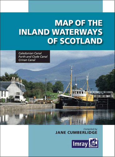
Caledonian Canal, Forth & Clyde Canal, Crinan Canal. Faltkarte mit Übersichts- und Detailplänen in verschiedenen Maßstäben. Kurzbeschreibungen in englischer Sprache. 2013.Die zweite Ausgabe von Imrays
Map and directory. This third edition of the map has a useful directory with a brief introduction to the waterways compiled by the author and historian Ruth Delany, and up-to-date information on water
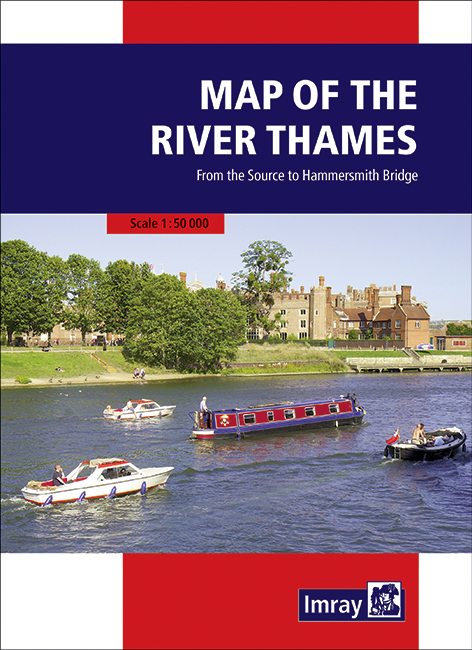
From the source to Hammersmith Bridge. Full information on boating facilities is included in the mapping, as are all the essential details on restricting dimensions, locks and bridges. Also shown are
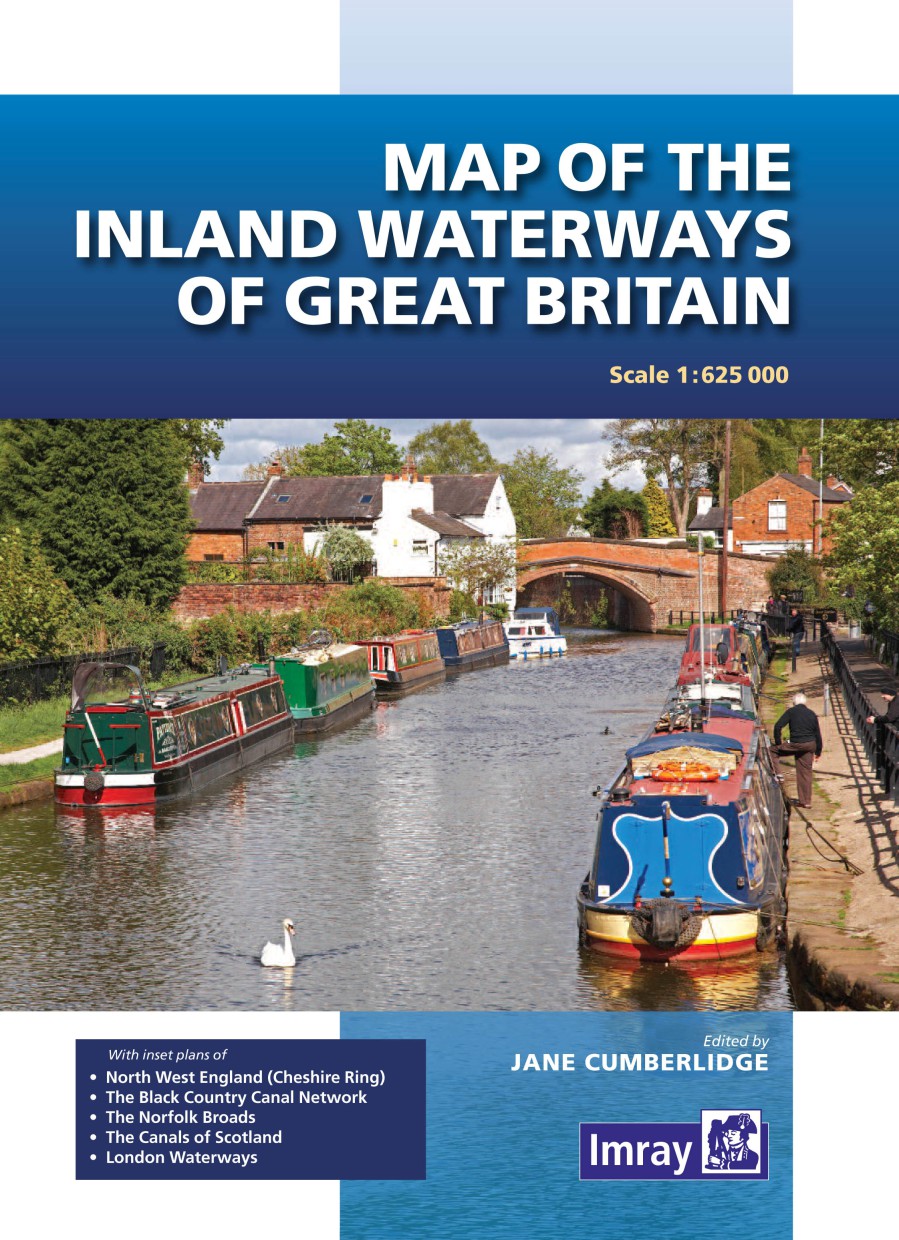
Farbige Karte mit den technischen Daten der Flüsse und Kanäle. 1:625.000 und Pläne: North West England (Cheshire Ring), The Black Country Canal Networks, The Norfolk Broads, The Canals of Scotland, Lo
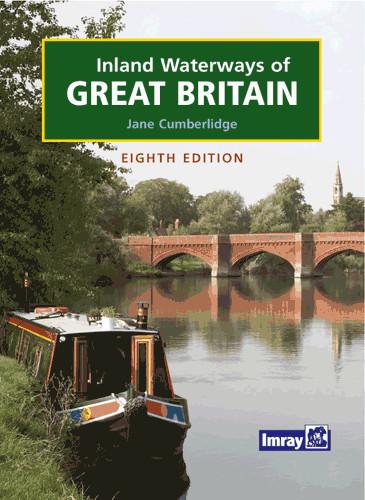
The navigable waterways of England, Wales and Scotland in alphabetical order. This standard reference has been completely revised: The 8th edition retains the format of previous editions but, througho
Including the River Wey, Basingstoke Canal and Kennet and Avon Canal to Great Bedwyn. The "River Thames Book" is the best-selling guide to the non-tidal Thames from Teddington to its source in Glouces
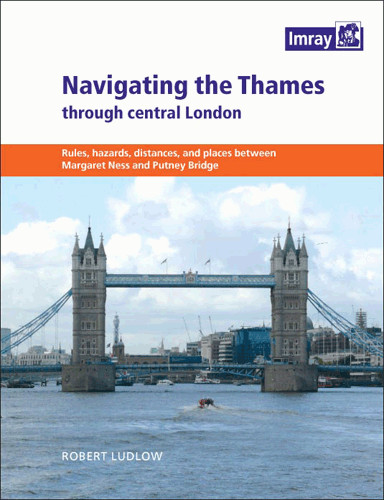
A handy cockpit reference with navigation notes for London's river from Gallions Reach to Putney Bridge. It shows the sequence of features bridges, piers and landmark buildings in a clear graphic form
14,70 €*
Schneller Versand aus unserem großen Lager
Update Service für digitale Seekarten
Europas größter Seekartenvertrieb
Ladengeschäft in Eckernförde
Direkt vom Hersteller
Experten und Fachberater am Telefon
Diese Website verwendet Cookies, um eine bestmögliche Erfahrung bieten zu können. Mehr Informationen ...