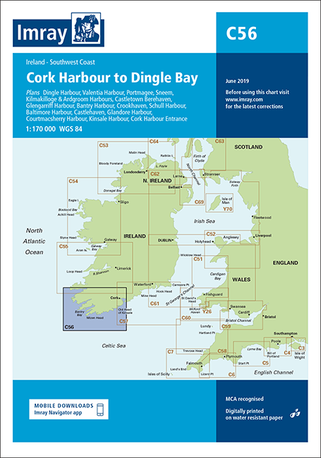
IMRAY CHART C56 Cork Harbour to Dingle Bay

Karten Nr.: ICC56-2
Edition: 2019
Maßstab: 1:170.000

34,90 €*


Produktnummer: 21523
Hersteller-Nr.: ICC56-2

Beschreibung

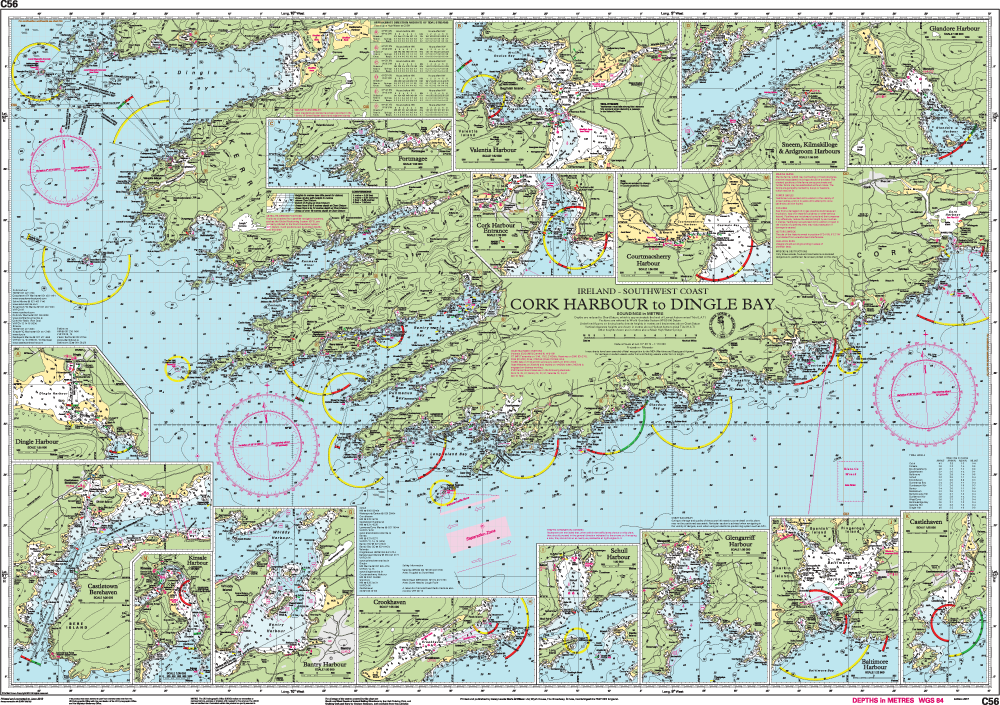
Die Faltkarte Imray Chart C56 vom englischen Kartenhersteller Imray deckt die Südküste Irlands vom geschützten Cork an der keltischen See bis zum an der Südwestüste am Atlantik gelegenen Dingle Bay ab. In dieser Ausgabe wurden, soweit verfügbar, die neuesten Tiefenmessungen verwendet. Die Kartenspezifikation wurde verbessert, um farbige Lichtblitze anzuzeigen. Es wurden allgemeine Aktualisierungen vorgenommen. Die kompakten Faltkarten von Imray geben eine Übersicht über eine bestimmte Region. Alle Karten sind auf stabiles und wasserfestes Papier gedruckt. Die Seekarte misst 78,7 x 111,8 cm und der Maßstab ist 1 : 170.000.

Die Karten sind in dem verlagseigenen Farbbild (Wasser blau, Flachwasser weiß, Land grün) gehalten. Lieferung in durchsichtiger Plastiktasche.

Detailkarten von:

Dingle Harbour (1:25 000)
Valentia Harbour (1:32 500)
Portmagee (1:30 000)
Sneem, Kilmakilloge & Ardgroom Harbours (1:55 000)
Castletown Berehaven (1:20 000)
Glengarriff Harbour (1:30 000)
Bantry Harbour (1:30 000)
Crookhaven (1:25 000)
Schull Harbour (1:30 000)
Baltimore Harbour (1:22 500)
Castlehaven (1:25 000)
Glandore Harbour (1:35 000)
Courtmacsherry Harbour (1:35 000)
Kinsale Harbour (1:35 000)
Cork Harbour Entrance (1:35 000)

Größe: Faltkarte
Region: Keltische See, Europa, Atlantik, Irland
Sprache: Englisch
Gebietsvorschau

Mit Hilfe unserer Gebietsvorschau erhalten Sie einen Eindruck davon, mit welcher geografischen Region sich das Produkt auseinandersetzt oder welche Gebiete eine Seekarte abdeckt.

Verwandte Produkte zu diesem Artikel

Verwandte Produkte zu diesem Artikel

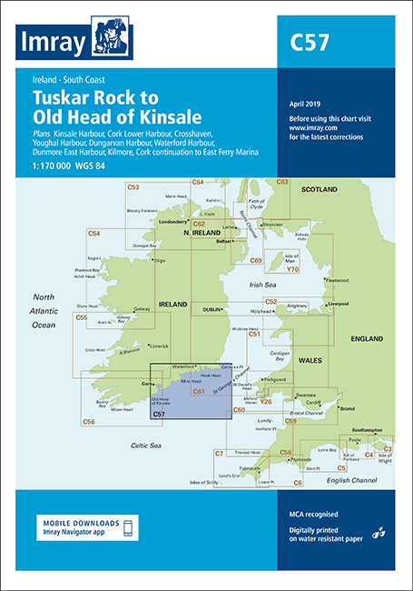
Gebietsvorschau für IMRAY CHART C57 Tuskar Rock to Old Head of Kinsale öffnen
IMRAY CHART C57 Tuskar Rock to Old Head of Kinsale
Tuskar Rock to Old Head of Kinsale.

34,90 €*
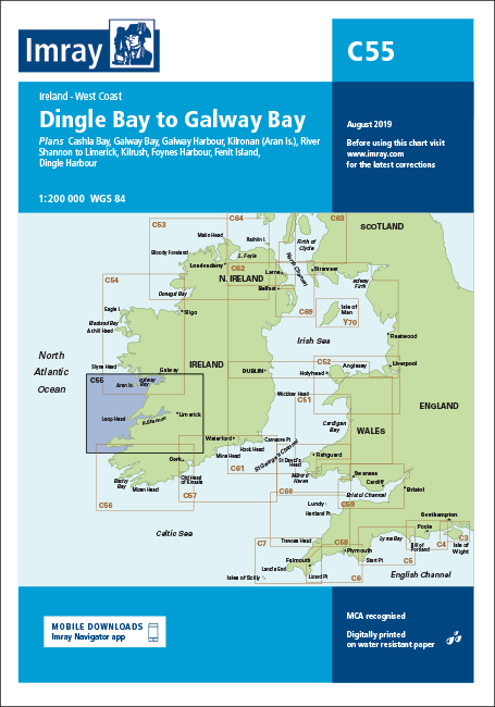
Gebietsvorschau für IMRAY CHART C55 Dingle Bay to Galway Bay öffnen
IMRAY CHART C55 Dingle Bay to Galway Bay
Dingle Bay to Galway Bay

34,90 €*
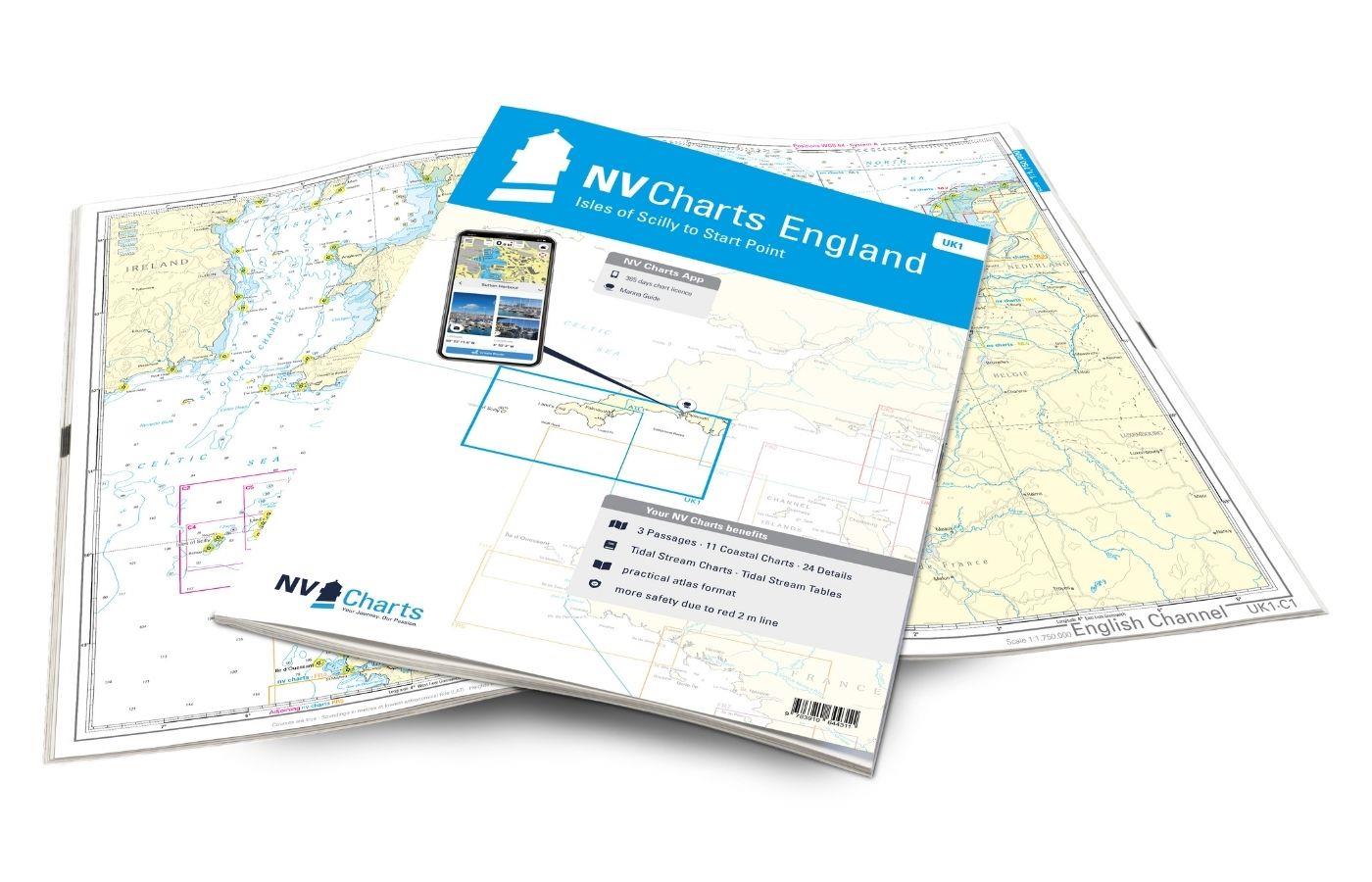
Gebietsvorschau für NV Charts England UK1 - Isles of Scilly to Start Point öffnen
NV Charts England UK1 - Isles of Scilly to Start Point
Seekarten Südwestküste Großbritanniens, Scilly Inseln bis Start Point, Cornwall

64,99 €*
Gebietsvorschau für IMRAY CHART C54 Galway Bay to Donegal Bay öffnen
IMRAY CHART C54 Galway Bay to Donegal Bay
Galway Bay to Donegal Bay.

34,90 €*
Gebietsvorschau für IMRAY CHART C53 Donegal Bay to Rathlin Island öffnen
IMRAY CHART C53 Donegal Bay to Rathlin Island
Donegal Bay to Rathlin Island.

34,90 €*
Gebietsvorschau für NV Charts France FR1 - Oostende à Cherbourg öffnen
NV Charts France FR1 - Oostende à Cherbourg
Seekarten französische Kanalküste von Oostende nach Cherbourg

64,99 €*

Bewertungen

0 von 0 Bewertungen

Bewerten Sie dieses Produkt!

Teilen Sie Ihre Erfahrungen mit anderen Kunden.


Gebietsvorschau für IMRAY CHART C60 Gower Peninsula to Cardigan öffnen
IMRAY CHART C60 Gower Peninsula to Cardigan
Gower Peninsula to Cardigan.

34,90 €*
Gebietsvorschau für IMRAY CHART C64 North Channel, Belfast Lough to Lough Foyle and Crinan öffnen
IMRAY CHART C64 North Channel, Belfast Lough to Lough Foyle and Crinan
Belfast Lough to Lough Foyle and Crinan, North Channel.

34,90 €*
Gebietsvorschau für IMRAY CHART C10 Western English Channel Übersegler öffnen
IMRAY CHART C10 Western English Channel Übersegler
Faltkarte des Englischen Kanals

34,90 €*
Gebietsvorschau für IMRAY CHART C53 Donegal Bay to Rathlin Island öffnen
IMRAY CHART C53 Donegal Bay to Rathlin Island
Donegal Bay to Rathlin Island.

34,90 €*
Gebietsvorschau für IMRAY CHART C1 Thames Estuary Tilbury to North Foreland and Orfordness öffnen
IMRAY CHART C1 Thames Estuary Tilbury to North Foreland and Orfordness
Thames Estuary - Tilbury to North Foreland and Orfordness.

34,90 €*
Gebietsvorschau für IMRAY 2800 Isle of Mull and Adjacent Coasts Chart Pack öffnen
IMRAY 2800 Isle of Mull and Adjacent Coasts Chart Pack
Set für die schottische Westküste mit den Hebriden

69,90 €*
Gebietsvorschau für IMRAY CHART C28 Harwich to Wells-next-the-Sea öffnen
IMRAY CHART C28 Harwich to Wells-next-the-Sea
Harwich to Wells-next-the-Sea.

34,90 €*
Gebietsvorschau für IMRAY CHART C15 The Solent Bembridge to Hurst Point and Southampton öffnen
IMRAY CHART C15 The Solent Bembridge to Hurst Point and Southampton
Papierfaltkarte "The Solent" für die Südküste Englands

34,90 €*
Gebietsvorschau für IMRAY CHART C30 Harwich to Hoek van Holland & Dover Strait öffnen
IMRAY CHART C30 Harwich to Hoek van Holland & Dover Strait
Harwich to Hoek van Holland and Dover Strait

34,90 €*
Gebietsvorschau für IMRAY CHART C8 Dover Strait North Foreland to Beachy Head and Boulogne öffnen
IMRAY CHART C8 Dover Strait North Foreland to Beachy Head and Boulogne
Dover Strait - North Foreland to Beachy Head and Boulogne

34,90 €*
Gebietsvorschau für IMRAY CHART C25 Harwich to River Humber and Holland öffnen
IMRAY CHART C25 Harwich to River Humber and Holland
Harwich to River Humber and Holland - Passage Chart

34,90 €*
Gebietsvorschau für IMRAY CHART C33B Channel Islands (South) öffnen
IMRAY CHART C33B Channel Islands (South)
Papierfaltkarte Channel Islands für den südlichen Teil der Kanalinseln

34,90 €*