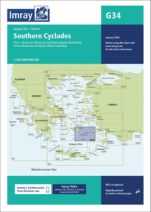
IMRAY CHART G36 Marmaris to Kekova Adasi

Karten Nr.: ICG36-3
Maßstab: 1:200.000

29,50 €*

 
Produktnummer: 21578
Hersteller-Nr.: ICG36-2

Beschreibung

Die Faltkarte Imray Chart G36 vom englischen Kartenhersteller Imray deckt die türkische Küste von Marmaris bis Kas sowie die Nordostspitze von Rhodos ab. Die letzte Aktualisierung fand im Januar 2022 statt. In dieser Ausgabe wurden die Sperrgebiete und Wassertiefen durchgehend aktualisiert. In den Plänen für Marmaris Limani und Göçek wurden Yachthafenentwicklungen und neue Betonnungen hinzugefügt. Die kompakten Faltkarten von Imray geben eine Übersicht über eine bestimmte Region. Alle Karten sind auf stabiles und wasserfestes Papier gedruckt. Die Seekarte misst 64 x 90 cm und der Maßstab ist 1 : 200.000.


Die Karten sind in dem verlagseigenen Farbbild (Wasser blau, Flachwasser weiß, Land grün) gehalten. Lieferung in durchsichtiger Plastiktasche.

Detailkarten von:

Marmaris Limani (1:50 000)
Skopea Limani (1:100 000)
Göçek (1:25 000)
Fethiye (1:35 000)
Approaches to Kastellórizo and Kas (1:75 000)

Format: Plano & Einzelkarten
Region: Türkei, Griechenland, Mittelmeer Ost
Sprache: Englisch
Gebietsvorschau

Mit Hilfe unserer Gebietsvorschau erhalten Sie einen Eindruck davon, mit welcher geografischen Region sich das Produkt auseinandersetzt oder welche Gebiete eine Seekarte abdeckt.

Verwandte Produkte zu diesem Artikel

Verwandte Produkte zu diesem Artikel

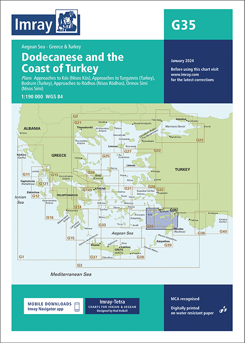
IMRAY CHART G35 Dodecanese and the Coast of Turkey
Dodecanese and the Coast of Turkey, Aegean Sea, Greece & Turkey.Scale: 1:190,000 WGS 84ImrayPlans included:Approaches to Kós (Nísos Kós) (1:20 000)Approaches to Turgutreis (Turkey) (1:100 ...

29,50 €*
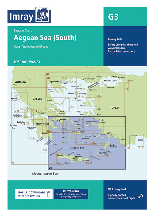
IMRAY CHART G3 Aegean Sea (South)
Aegean Sea (South) - Passage Chart.Scale: 1:750 000 WGS 84ImrayIncludes plan:Approaches to Rhodes (1:15 000)For this 2014 edition the chart has been fully updated and modernised througho...

29,50 €*
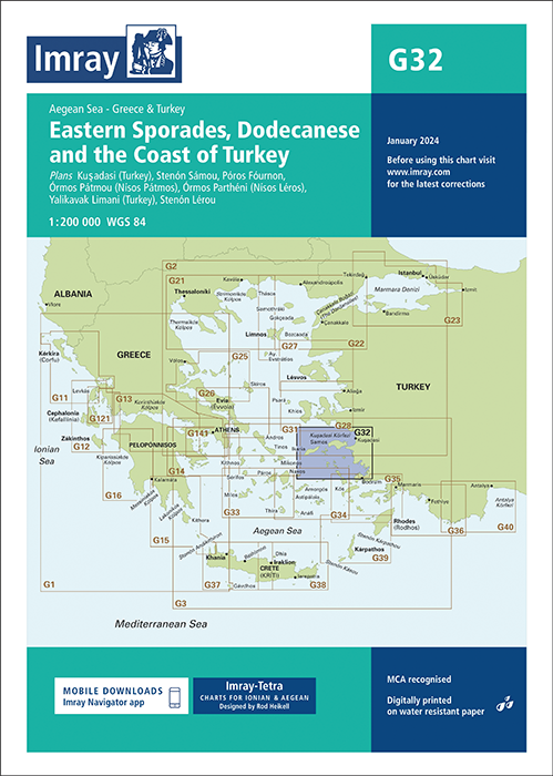
IMRAY CHART G32 Eastern Sporades, Dodecanese & the Coast of Turkey
Eastern Sporades, Dodecanese & the Coast of Turkey.

29,50 €*
IMRAY CHART G28 Nísos Khíos & the Coast of Turkey
Nisos Khios & the Coast of Turkey.Scale: 1:190,000 WGS 84ImrayPlans included:Approaches to Psará (Nísos Psará) (1:15,000)Approaches to Khíos (Nísos Khíos) (1:20,000)Órmos Mandráki (Nísos ...

29,50 €*
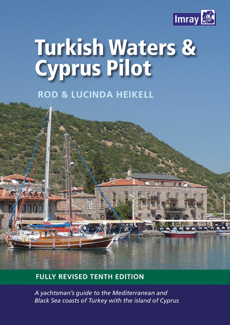
Turkish Waters and Cyprus Pilot
Turkish Waters and Cyprus Pilot deckt die gesamte Küste der Türkei ab, vom Schwarzen Meer über die Ägäisküste bis hin zur syrischen Grenze.

59,90 €*
IMRAY CHART G40 Kas to Antalya
Kas to Antalya. Turkey - South Coast.

29,50 €*
IMRAY CHART G34 Southern Cyclades (East Sheet)
Southern Cyclades (East Sheet).

29,50 €*

Produkte in der Nähe dieses Artikels

Produkte in der Nähe dieses Artikels

Marmaris to Kas. UKHO1054
Seekarte (Küstenkarte) für die sichere Navigation in küstennahen Gewässern.

44,90 €*
Nisos Rodos to Taslik Burnu. UKHO236
Seekarte (Küstenkarte) für die sichere Navigation in küstennahen Gewässern.

44,90 €*
Hafenführer TÜRKEI West- und Südküste
Spiralgebundener Hafenführer für die Türkei Von Ayvalik bis Tasucu.

37,00 €*
Ports and Anchorages on the South-West Coast of Turkey. UKHO1644
Seekarte (Ansteuerungskarte) mit detaillierten Navigationsinformationen.

44,90 €*
IMRAY CHART G40 Kas to Antalya
Kas to Antalya. Turkey - South Coast.

29,50 €*
Rhodes Channel and Gokova Korfezi. UKHO1055
Seekarte (Küstenkarte) für die sichere Navigation in küstennahen Gewässern.

44,90 €*
Harbours in the Southern Dodekanisos. UKHO1532
Seekarte (Hafenkarte) zur detaillierten Orientierung und Navigation in Ufernähe.

44,90 €*
East Aegean
Covers the Greek Dodecanese islands and the Turkish coast from the Samos Strait as far east as Kas and Kekova. This fully revised and expanded second edition is packed with useful background infor...

28,40 €*
IMRAY CHART G35 Dodecanese and the Coast of Turkey
Dodecanese and the Coast of Turkey, Aegean Sea, Greece & Turkey.Scale: 1:190,000 WGS 84ImrayPlans included:Approaches to Kós (Nísos Kós) (1:20 000)Approaches to Turgutreis (Turkey) (1:100 ...

29,50 €*
GR PC 13
South Dodecanisa. Diese griechische Sportbootkarten sind Seekarte und Pilot Chart in einem. Sie sind beidseitig farbig auf wasserfestem Papier gedruckt und werden gefaltet auf das Format 17 x 25 c...

22,00 €*
IMRAY CHART G39 Nísos Kárpathos to Nísos Ródhos
Nisos Karpathos to Nisos Rodhos.Scale: 1:190,000 WGS 84ImrayPlans :Limín Fri (N. Kásos)Pigádhia (N. Kárpathos)Órmos Líndhou (N. Ródhos)N. Khálki to N. Alimiá

29,50 €*

Bewertungen

0 von 0 Bewertungen

Geben Sie eine Bewertung ab!

Teilen Sie Ihre Erfahrungen mit dem Produkt mit anderen Kunden.