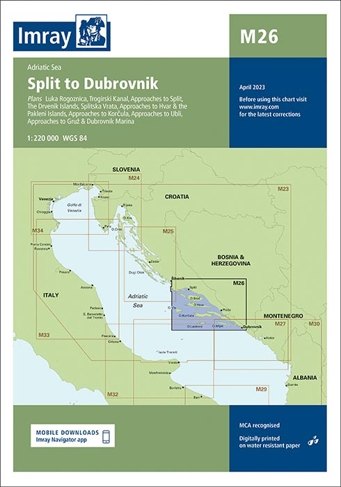
IMRAY CHART M26 Split to Dubrovnik
Beschreibung
Von Split nach Dubrovnik.
Adriatisches Meer
Maßstab: 1:220 000 WGS 84
Enthaltene Pläne:
Luka Rogoznica (1:85 000)
Trogirski Kanal (1:15 000)
Zufahrten nach Split (1:20 000)
The Drvenik Islands (1:85 000)
Splitska Vrata (1:30 000)
Zufahrten nach Hvar & the Pakleni Islands (1:50 000)
Zufahrten nach Korcula (1:75 000)
Zufahrten nach Ubli (1:85 000)
Zufahrten nach Gruž & Dubrovnik Marina (1:35 000)
In dieser Ausgabe wurden die Grenzen der Meeresschutzgebiete in die Karte aufgenommen und die Hafenentwicklung in Split dargestellt. Die Kartenspezifikation wurde verbessert, um farbige Lichtblitze anzuzeigen. Die gesamte Karte wurde allgemein aktualisiert.
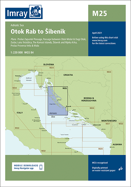
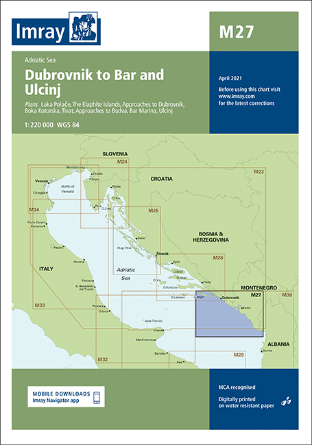
Mit Hilfe unserer Gebietsvorschau erhalten Sie einen Eindruck davon, mit welcher geografischen Region sich das Produkt auseinandersetzt oder welche Gebiete eine Seekarte abdeckt.
Verwandte Produkte zu diesem Artikel
Bewertungen
Anmelden

