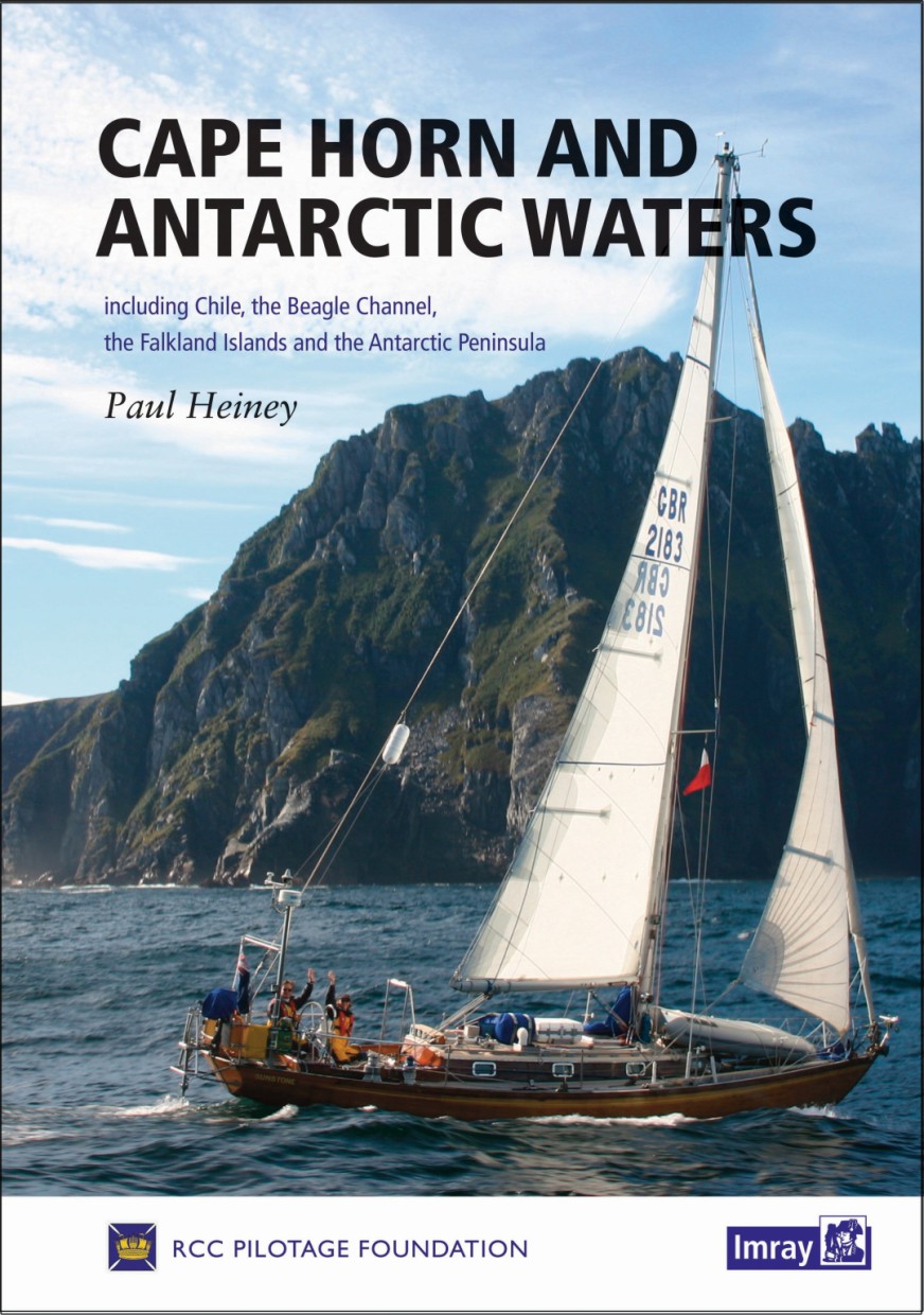
Cape Horn and Antarctic Waters

Karten Nr.: IB0252

79,00 €*


Produktnummer: 22379
Hersteller-Nr.: IB0252

Beschreibung

This stylish handbook from the RCC Pilotage Foundation covers the spectacular cruising grounds around Cape Horn, including Chile, the Beagle Channel, the Falkland Islands and the Antarctic Peninsula. Including some of the most dangerous waters in the world, from the treacherous Cape Horn to the icebound anchorages of Antarctica, it offers not only inspiration and encouragement but enough detail to plan the voyage of a lifetime. Großformat, 214 Seiten, 2017.

Gebietsvorschau

Mit Hilfe unserer Gebietsvorschau erhalten Sie einen Eindruck davon, mit welcher geografischen Region sich das Produkt auseinandersetzt oder welche Gebiete eine Seekarte abdeckt.

Verwandte Produkte zu diesem Artikel

Verwandte Produkte zu diesem Artikel

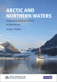
Arctic and Northern Waters
Including Faroe, Iceland and Greenland. This pilot covers the Northwest and Northeast Passages through the Arctic Ocean. Incorporating information collected on a number of voyages over recent year...

79,00 €*
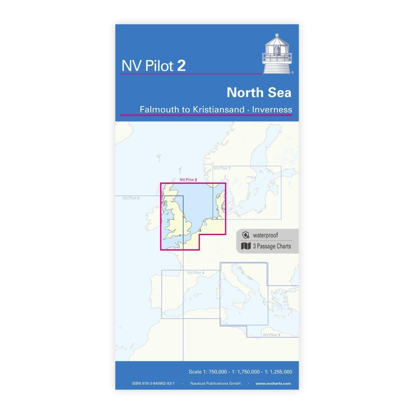
NV Pilot 2, North Sea - Falmouth to Kristiansand - Inverness
Planungskarte Nordsee - Wasserfest

24,99 €*
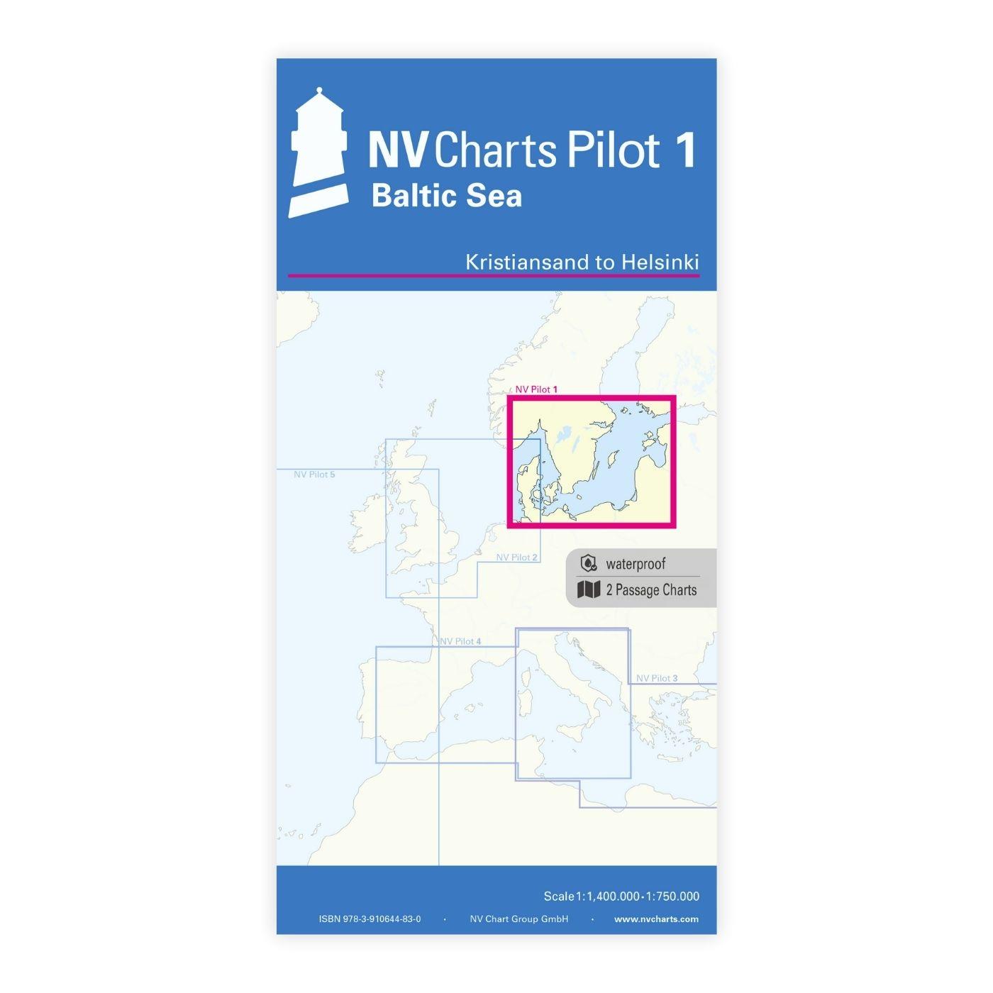
NV Pilot 1, Planungskarte Ostsee - Kristiansand bis Helsinki
Planungskarte Ostsee

24,99 €*
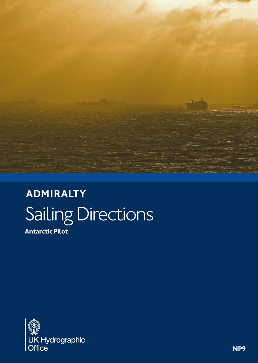
ADMIRALTY NP9 Antartic Pilot - Seehandbuch
Admiralty Sailing Directions. The Antarctic Pilot, 08. Edition 2014. Comprising the coast of Antarctica and all islands south of the usual route of vessels.

109,90 €*

Produkte in der Nähe dieses Artikels

Produkte in der Nähe dieses Artikels

Anvers Island to Renaud Island. UKHO446
Seekarte (Küstenkarte) für die sichere Navigation in küstennahen Gewässern.

49,90 €*
Lemaire Channel. UKHO445
Seekarte (Ansteuerungskarte) mit detaillierten Navigationsinformationen.

49,90 €*
Argentine Islands and Approaches. UKHO3575
Seekarte (Ansteuerungskarte) mit detaillierten Navigationsinformationen.

49,90 €*
Grandidier Channel. UKHO451
Seekarte (Ansteuerungskarte) mit detaillierten Navigationsinformationen.

49,90 €*
Pendleton Strait and Grandidier Channel. UKHO447
Seekarte (Küstenkarte) für die sichere Navigation in küstennahen Gewässern.

49,90 €*
Plans in Graham Land. UKHO3213
Seekarte (Hafenkarte) zur detaillierten Orientierung und Navigation in Ufernähe.

49,90 €*
Brabant Island to Adelaide Island. UKHO3572
Seekarte (Übersegler) zur Routenplanung und Übersicht.

49,90 €*
Pendleton Strait to Harrison Passage. UKHO448
Seekarte (Ansteuerungskarte) mit detaillierten Navigationsinformationen.

49,90 €*
Gerlache Strait Southern Part. UKHO3566
Seekarte (Küstenkarte) für die sichere Navigation in küstennahen Gewässern.

49,90 €*
Gerlache Strait Northern Part. UKHO3560
Seekarte (Küstenkarte) für die sichere Navigation in küstennahen Gewässern.

49,90 €*
Gerlache Strait Bluff Island to Emma Island. UKHO3207
Seekarte (Ansteuerungskarte) mit detaillierten Navigationsinformationen.

49,90 €*

Bewertungen

0 von 0 Bewertungen

Bewerten Sie dieses Produkt!

Teilen Sie Ihre Erfahrungen mit anderen Kunden.