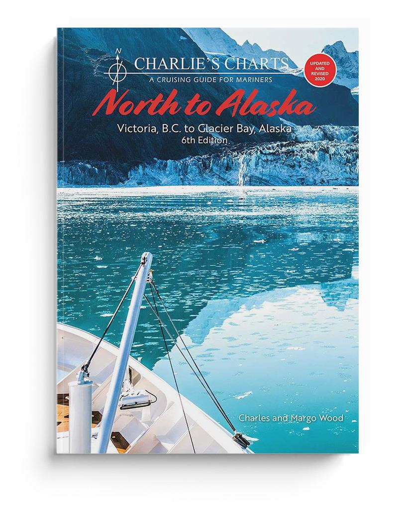
Charlie's Charts North to Alaska

59,80 €*


Produktnummer: 22469
Hersteller-Nr.: 9780968637051

Beschreibung

This guide starts in Victoria, B.C. providing cruising information leading a sailor along the Inside Passage to Glacier Bay, Alaska. It is divided into eight sections with full-color photographs and a sketched chart indicating marinas or anchorages where a cruising boat with a speed of 6 knots can find moorage as it travels along the coast. Each location has a detailed sketch and description of a safe approach, a recommended anchorage area and shore facilities. Crucial portions such as the transit of passes and the passage of Cape Caution are given particular attention with guidelines for timing and recommended routes. A customized weather map provides excellent information. For cruisers unable to make the entire trip to Alaska shorter trips to spectacular areas on the coast are described such as to Princess Louisa Inlet, Desolation Sound, Greenway Sound, Fiordland Recreation Area, Kitimat and the Kitlope. 2020
Gebietsvorschau

Mit Hilfe unserer Gebietsvorschau erhalten Sie einen Eindruck davon, mit welcher geografischen Region sich das Produkt auseinandersetzt oder welche Gebiete eine Seekarte abdeckt.

Verwandte Produkte zu diesem Artikel

Verwandte Produkte zu diesem Artikel

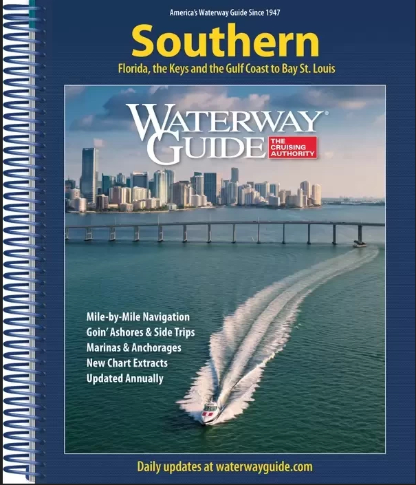
Waterway Guide Southern
Der unverzichtbare Reisebegleiter für Bootsfahrer, die Florida erkunden...

54,90 €*
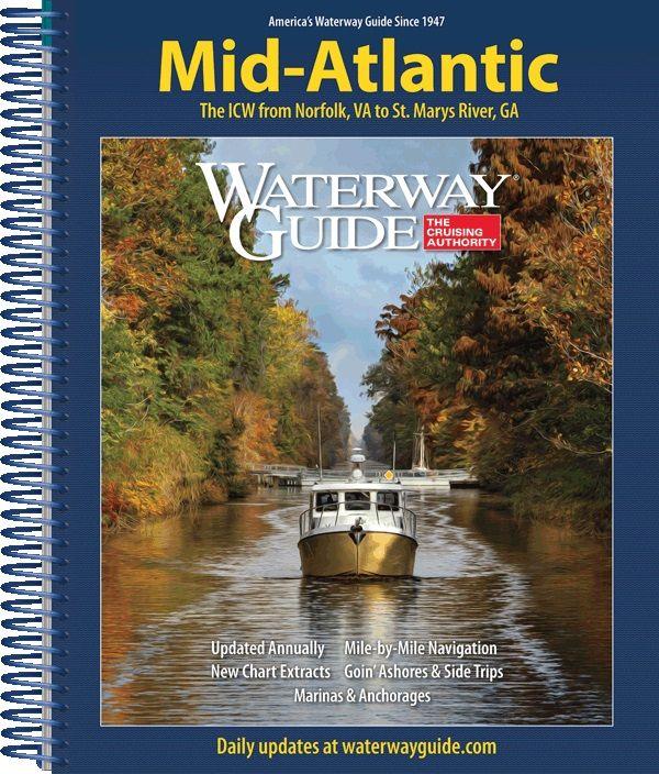
Waterway Guide: Atlantic ICW
Der unentbehrliche Reisebegleiter für Bootsfahrer, die den Intracoastal Waterway von Norfolk, VA bis zur Grenze von Florida erkunden.

54,90 €*
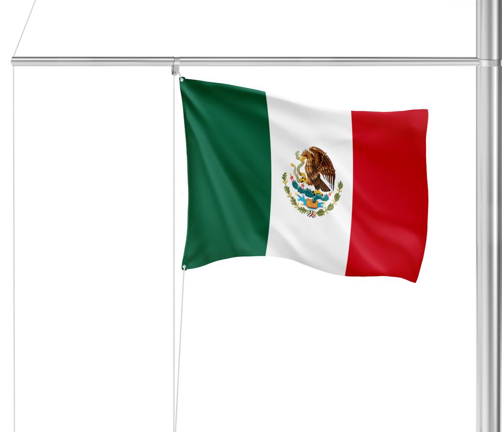
Gastlandflagge Mexiko 30X45cm
.

6,90 €*
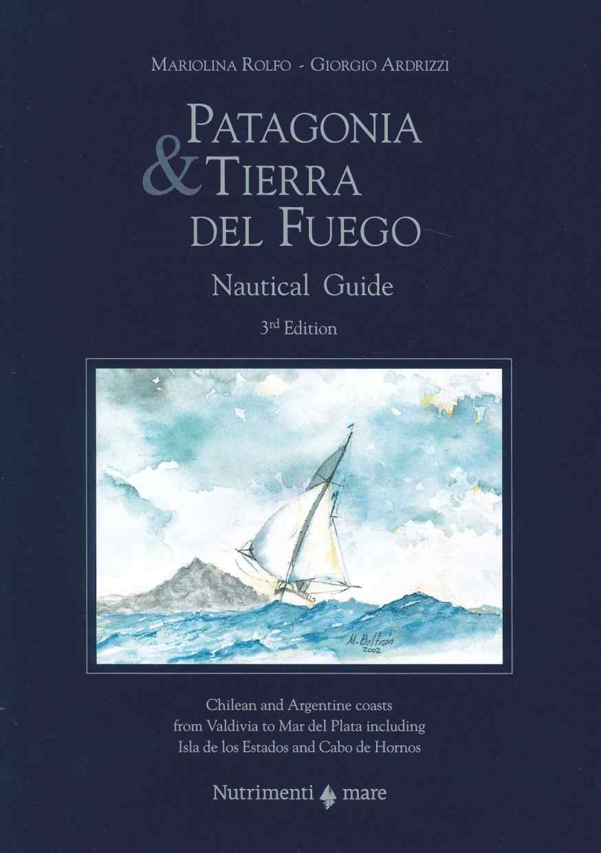
Patagonia & Tierra del Fuego
Revierhandbuch für die chilenische und argentinische Küste von Valdivia bis Kap Hoorn

79,80 €*

Produkte in der Nähe dieses Artikels

Produkte in der Nähe dieses Artikels

Prince Rupert Harbour. UKHO4937
Seekarte (Hafenkarte) zur detaillierten Orientierung und Navigation in Ufernähe.

44,90 €*
Plans Prince Rupert Harbour. UKHO4938
Seekarte (Hafenkarte) zur detaillierten Orientierung und Navigation in Ufernähe.

44,90 €*
Malacca Passage to / a Bell Passage. UKHO4935
Seekarte (Ansteuerungskarte) mit detaillierten Navigationsinformationen.

44,90 €*
Approaches to/Approches a Prince Rupert Harbour. UKHO4936
Seekarte (Ansteuerungskarte) mit detaillierten Navigationsinformationen.

44,90 €*
Hecate Strait. UKHO4928
Seekarte (Küstenkarte) für die sichere Navigation in küstennahen Gewässern.

44,90 €*
Exploring the North Coast of British Columbia
Blunden Harbour to Dixon Entrance with Original Research on the Queen Charlottes. 500 Seiten, 350 Fotos, 300 Kartenskizzen, 2000 GPS-Wegepunkte, Großformat, 2006. Besorgungstitel, Lieferzeit ca. 3...

50,70 €*
Douglas Channel. UKHO4939
Seekarte (Ansteuerungskarte) mit detaillierten Navigationsinformationen.

44,90 €*
ADMIRALTY NP26 British Columbia Pilot Vol 2 - Seehandbuch
Admiralty Sailing Directions. British Columbia Pilot Vol. 2, 11. Edition 2017. Coast of British Columbia from Cape Caution to Portland Inlet with Haida Gwaii (formerly Queen Charlotte Islands) and...

99,00 €*
Kitimat Harbour. UKHO4931
Seekarte (Hafenkarte) zur detaillierten Orientierung und Navigation in Ufernähe.

44,90 €*
Queen Charlotte Sound. UKHO4923
Seekarte (Übersegler) zur Routenplanung und Übersicht.

44,90 €*
Dixon Entrance. UKHO3754
Seekarte (Küstenkarte) für die sichere Navigation in küstennahen Gewässern.

44,90 €*

Bewertungen

0 von 0 Bewertungen

Bewerten Sie dieses Produkt!

Teilen Sie Ihre Erfahrungen mit anderen Kunden.