ADMIRALTY NP57A Norway Pilot Vol 2A - Seehandbuch
Beschreibung
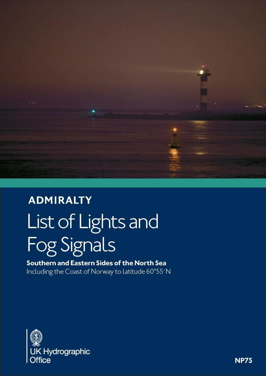
Official Sailing Manual, ADMIRALTY Sailing Directions, Norway
Includes the west coast of Norway. From Jærens Rev do Stadlandet
NP57a is part of the worldwide series of books published by the United Kingdom Hydrographic Office (UKHO). They comply with SOLAS equipment regulations for commercial shipping. In English language with numerous photos, charts, sketches and illustrations.
Contents
The ADMIRALTY Sailing Direction Norway Pilot (NP57a) offers the following topics for the area in more detail:
- Shipping lanes, routes and traffic management areas (TSS)
- Port facilities, quay facilities and berth information
- Instructions for port entries
- Notes on nautical hazards
- Buoyage and controls
- Climatic background information
Geographic coverage
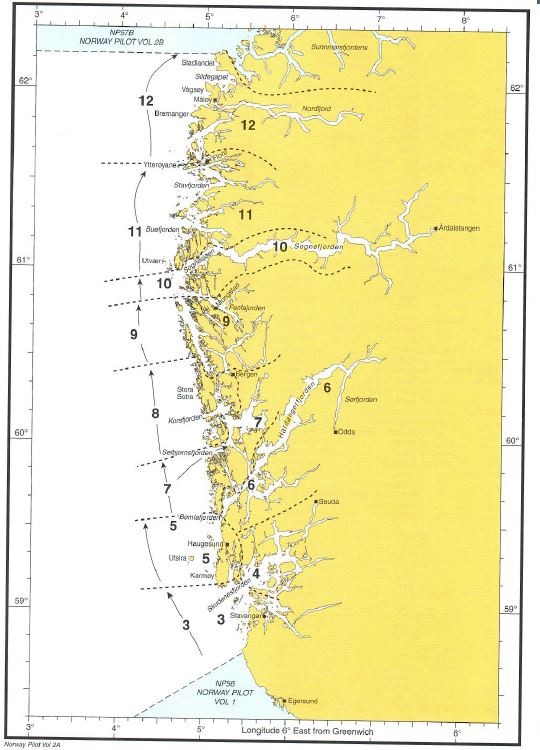
The sea area is divided into twelve sections along the coasts. (See diagram). It contains
- Countries, Navigation and Regulations
- Offshore and Indreleia through routes
- Stavanger and approaches including fjords to the south and east
- Ryfyklefjordene
- Skudenesfjorden to Bømlafjorden including the western coast of Karmøy and off-lying islands
- Bømlafjorden, Sunnhordlandsfjordene and Hardangerfjoren
- Bømlafjorden to Bjørnalfjorden inclufing the west coast of Bømlo, Stokksundet, Langenuen and Selbjørnsfjorden
- Selbjørnsfjorden and Korsfjorden to Toftevika and Bergen
- Toftevika and Bergen to Holmengrå and Fensfjorden
- Sognesjøen including Nordhordlandsfjordene north of Fensfjorden and Sognefjorden
- Utvær and Sognesjøen to Ytterøyane and Årebrotsneset
- Ytterøyane and Årebrotsneset to Stadlandet and Nordfjord
ADMIRALTY Sailing Directions for shipping requiring equipment in accordance with SOLAS
The British Sailing Directions are part of the bridge equipment on board merchant ships required by SOLAS. Depending on the rules of the flag state, the necessary official publications and nautical handbooks must be on board in addition to the current nautical charts.
ADMIRALTY Sailing Directions are also a useful equipment for navigation on board in sports shipping, which is not subject to mandatory equipment. Especially in areas where a coverage with district guides is not possible or not possible in an up-to-date form, many skippers fall back on the sea handbooks.
Numerous illustrations, colour photos and sketches facilitate navigation.
Update of the ADMIRALTY Sailing Directions
The editors provide free weekly updates of the United Kingdom Hydrographic Office marine manuals on the homepage. These are published as part of the Notice to Mariners. You can also order a subscription for a weekly delivery of the paper version of the Notice to Mariners from your chart supplier HanseNautic. Please do not hesitate to contact us.
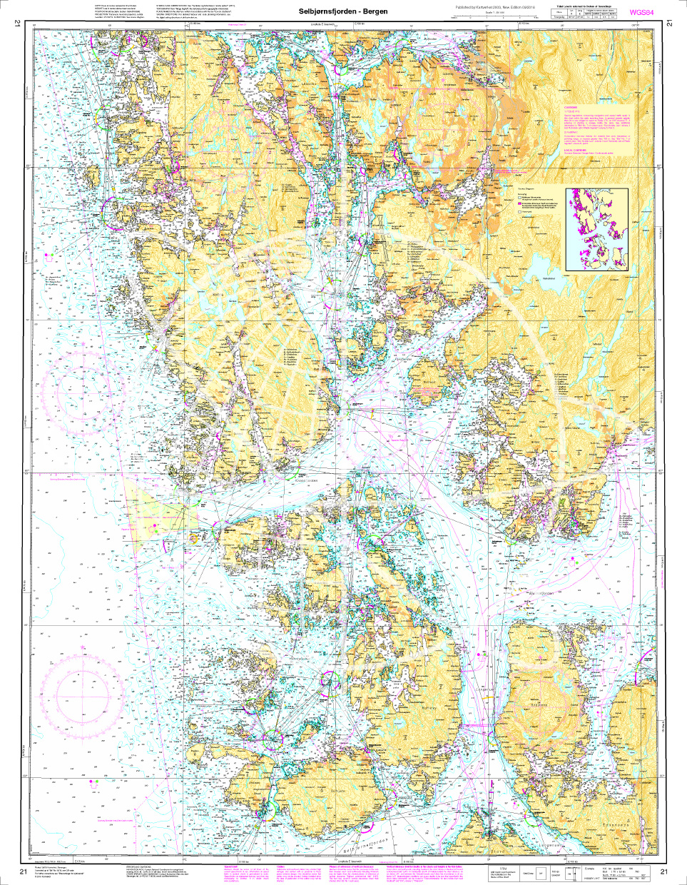
Mit Hilfe unserer Gebietsvorschau erhalten Sie einen Eindruck davon, mit welcher geografischen Region sich das Produkt auseinandersetzt oder welche Gebiete eine Seekarte abdeckt.
Verwandte Produkte zu diesem Artikel
Bewertungen
Anmelden

