IMRAY 2800 Isle of Mull and Adjacent Coasts Chart Pack

Karten Nr.: IC2800-3

69,90 €*


Produktnummer: 21437
Hersteller-Nr.: IC2800-3

Beschreibung

Set für die schottische Westküste mit den Hebriden

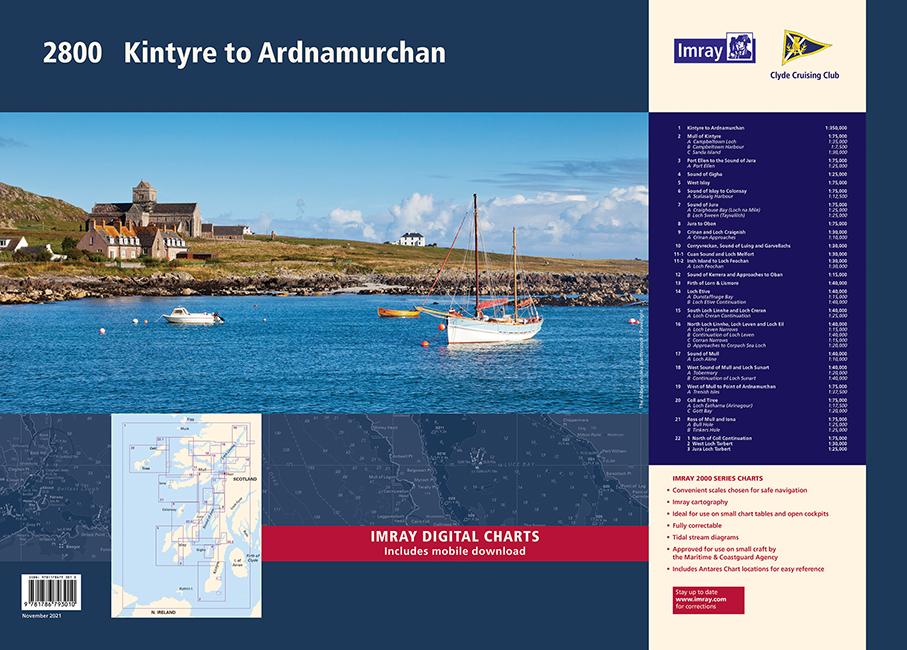
Als Teil der Serie von Sportbootkartensätzen des britischen Herstellers IMRAY deckt dieser Sportbootkartensatz IMRAY 2800 Isle of Mull and Adjacent die schottische Westküste mit den Hebriden inkl. Einfahrt in den kaledonischen Kanal ab. Der Atlas ist spiralgebunden und bündelt 22 Karten. Die Karten sind teils im Hochformat, teils im Querformat. Dieser Titel stammt aus dem November 2021.

Die Karten sind in dem verlagseigenen Farbbild (Wasser blau, Flachwasser weiß, Land grün) gehalten. Lieferung in durchsichtiger Plastiktasche.

Gebiet und Abdeckung:

-Kintyre to Ardnamurchan
-Mull of Kintyre, Plans Campbeltown Loch, Campbeltown Harbour, Sanda Island
-Port Ellen to the Sound of Jura, Plan Port Ellen
-Sound of Gigha
-West Islay
-Sound of Islay to Colonsay, Plan Scalasaig 
-Sound of Jura, Plans Craighouse Bay (Loch na Mile), Loch Sween (Tayvallich)
-Jura to Oban
-Crinan and Loch Craignish, Plan Crinan Approaches
-Corryvreckan, Sound of Luing and Garvellachs 
-Cuan Sound and Loch Melfort, Insh Island to Loch Feochan, Plan Loch Feochan 
-Sound of Kerrera and Approaches to Oban
-Firth of Lorn & Lismore
-Loch Etive, Plans Dunstaffnage Bay, Loch Etive Continuation
-South Loch Linnhe and Loch Creran, Plan Loch Creran Continuation
-North Loch Linnhe, Loch Leven and Loch Eil, Plans Loch Leven Narrows, Continuation of Loch Leven, Corran Narrows, Approaches to Corpach Sea Loch 
-Sound of Mull, Plan Loch Aline 
-West Sound of Mull and Loch Sunart, Plans Tobermory, Continuation of Loch Sunart 
-West Mull to Point of Ardnamurchan, Plan Treshnish Isles
-Coll and Tiree, Plans Loch Eatharna (Arinagour), Gott Bay
-Ross of Mull and Iona, Plans Bull Hole, Tinkers Hole 
-North of Coll Continuation, West Loch Tarbert, Jura Loch Tarbert 

Format: Gebundener Kartensatz
Gebietsvorschau

Mit Hilfe unserer Gebietsvorschau erhalten Sie einen Eindruck davon, mit welcher geografischen Region sich das Produkt auseinandersetzt oder welche Gebiete eine Seekarte abdeckt.

Revierführer

Revierführer

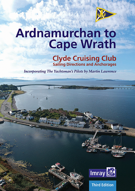
Gebietsvorschau für CCC Ardnamurchan to Cape Wrath öffnen
CCC Ardnamurchan to Cape Wrath

48,50 €*
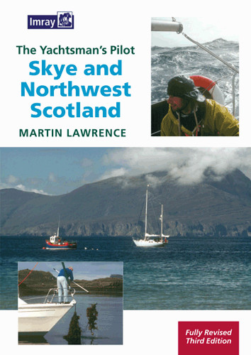
The Yachtman's Pilot to Skye and Northwest Scotland
Cape Wrath to Ardnamurchan. The Yachtman‘s Pilot. Alle nautischen Informationen. Großformat, viele farbige Luftaufnahmen, Karten und Pläne, in englischer Sprache, 2010 (3. Auflage).

36,80 €*
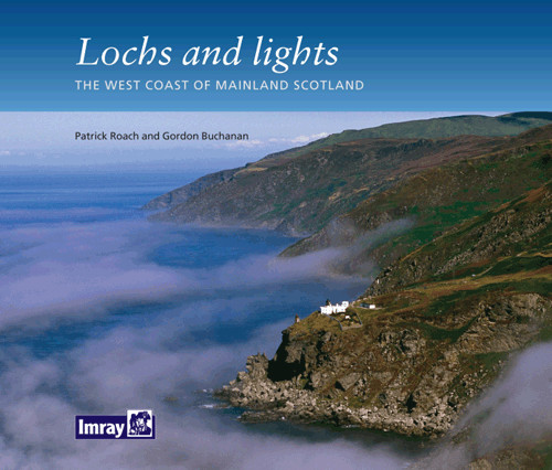
Lochs and lights
Ein Bildband der Westküste des schottischen Festlandes von Patrick Roach und Gordon Buchanan.

14,80 €*
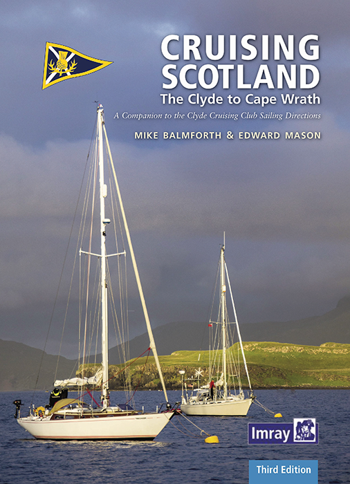
Cruising Scotland - The Clyde to Cape Wrath

36,80 €*

Bewertungen

0 von 0 Bewertungen

Bewerten Sie dieses Produkt!

Teilen Sie Ihre Erfahrungen mit anderen Kunden.


Gebietsvorschau für IMRAY CHART C60 Gower Peninsula to Cardigan öffnen
IMRAY CHART C60 Gower Peninsula to Cardigan
Gower Peninsula to Cardigan.

34,90 €*
Gebietsvorschau für IMRAY CHART C64 North Channel, Belfast Lough to Lough Foyle and Crinan öffnen
IMRAY CHART C64 North Channel, Belfast Lough to Lough Foyle and Crinan
Belfast Lough to Lough Foyle and Crinan, North Channel.

34,90 €*
Gebietsvorschau für IMRAY CHART C10 Western English Channel Übersegler öffnen
IMRAY CHART C10 Western English Channel Übersegler
Faltkarte des Englischen Kanals

34,90 €*
Gebietsvorschau für IMRAY CHART C53 Donegal Bay to Rathlin Island öffnen
IMRAY CHART C53 Donegal Bay to Rathlin Island
Donegal Bay to Rathlin Island.

34,90 €*
Gebietsvorschau für IMRAY CHART C56 Cork Harbour to Dingle Bay öffnen
IMRAY CHART C56 Cork Harbour to Dingle Bay
Cork Harbour to Dingle Bay

34,90 €*
Gebietsvorschau für IMRAY CHART C1 Thames Estuary Tilbury to North Foreland and Orfordness öffnen
IMRAY CHART C1 Thames Estuary Tilbury to North Foreland and Orfordness
Thames Estuary - Tilbury to North Foreland and Orfordness.

34,90 €*
Gebietsvorschau für IMRAY CHART C28 Harwich to Wells-next-the-Sea öffnen
IMRAY CHART C28 Harwich to Wells-next-the-Sea
Harwich to Wells-next-the-Sea.

34,90 €*
Gebietsvorschau für IMRAY CHART C15 The Solent Bembridge to Hurst Point and Southampton öffnen
IMRAY CHART C15 The Solent Bembridge to Hurst Point and Southampton
Papierfaltkarte "The Solent" für die Südküste Englands

34,90 €*
Gebietsvorschau für IMRAY CHART C30 Harwich to Hoek van Holland & Dover Strait öffnen
IMRAY CHART C30 Harwich to Hoek van Holland & Dover Strait
Harwich to Hoek van Holland and Dover Strait

34,90 €*
Gebietsvorschau für IMRAY CHART C8 Dover Strait North Foreland to Beachy Head and Boulogne öffnen
IMRAY CHART C8 Dover Strait North Foreland to Beachy Head and Boulogne
Dover Strait - North Foreland to Beachy Head and Boulogne

34,90 €*
Gebietsvorschau für IMRAY CHART C25 Harwich to River Humber and Holland öffnen
IMRAY CHART C25 Harwich to River Humber and Holland
Harwich to River Humber and Holland - Passage Chart

34,90 €*
Gebietsvorschau für IMRAY CHART C33B Channel Islands (South) öffnen
IMRAY CHART C33B Channel Islands (South)
Papierfaltkarte Channel Islands für den südlichen Teil der Kanalinseln

34,90 €*