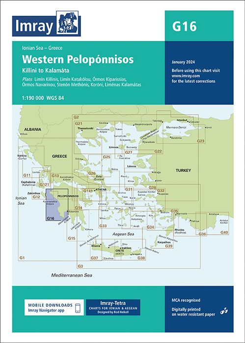
IMRAY CHART G16 Western Pelopónnisos

Karten Nr.: ICG16-2
Maßstab: 1:190.000

29,50 €*

 
Produktnummer: 21565
Hersteller-Nr.: ICG16-2

Beschreibung

Die Faltkarte Imray Chart G16 vom englischen Kartenhersteller Imray deckt die westliche Küste der Halbinsel Peloponnes ab. Die letzte Aktualisierung fand im Januar 2022 statt. Bei dieser Ausgabe wurde die Kartenspezifikation verbessert, um farbige Lichtblitze anzuzeigen. Ein Hafenplan von Koróni ist nun in dieser Karte enthalten. Die neuesten Tiefenvermessungen wurden, soweit verfügbar, aufgenommen. Unterseekabel und Schießübungsplätze wurden aktualisiert. Es wurden allgemeine Aktualisierungen vorgenommen. Die kompakten Faltkarten von Imray geben eine Übersicht über eine bestimmte Region. Alle Karten sind auf stabiles und wasserfestes Papier gedruckt. Die Seekarte misst 64 x 90 cm und der Maßstab ist 1 : 190.000.


Die Karten sind in dem verlagseigenen Farbbild (Wasser blau, Flachwasser weiß, Land grün) gehalten. Lieferung in durchsichtiger Plastiktasche.


Detailkarten von:


Limín Killinis (1:12 500)
Limín Katakólou (1:20 000)
Órmos Kiparissias (1:7500)
Órmos Navarínou (1:30 000)
Stenón Methónis (1:20 000)
Liménas Kalamatás (1:12 500)
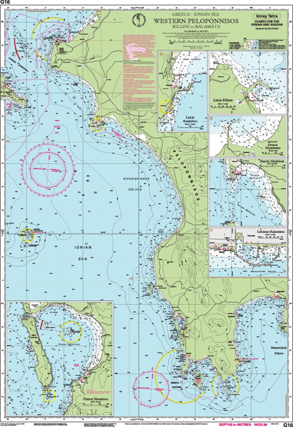
Imray Chart G 16 - preview

Format: Plano & Einzelkarten
Region: Griechenland
Sprache: Englisch
Gebietsvorschau

Mit Hilfe unserer Gebietsvorschau erhalten Sie einen Eindruck davon, mit welcher geografischen Region sich das Produkt auseinandersetzt oder welche Gebiete eine Seekarte abdeckt.

Verwandte Produkte zu diesem Artikel

Verwandte Produkte zu diesem Artikel

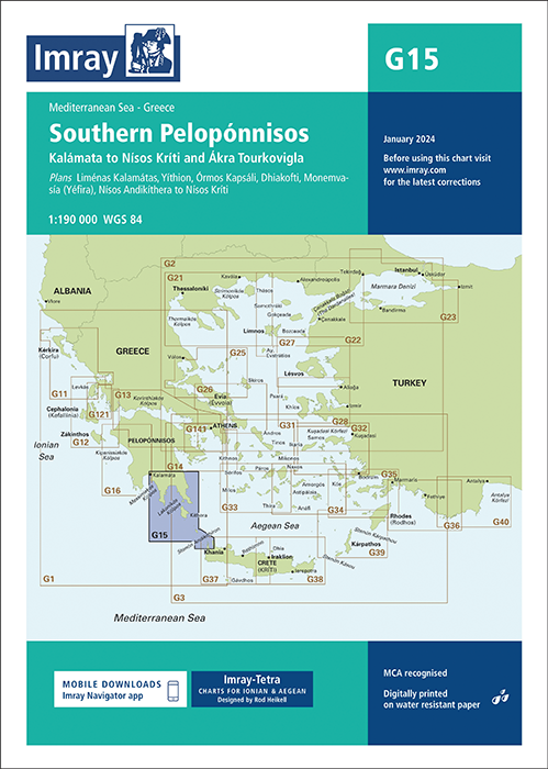
IMRAY CHART G15 Southern Pelopónnisos
Órmos Navarínou to Nísos Kithíra and Ákra Tourkovigla

29,50 €*
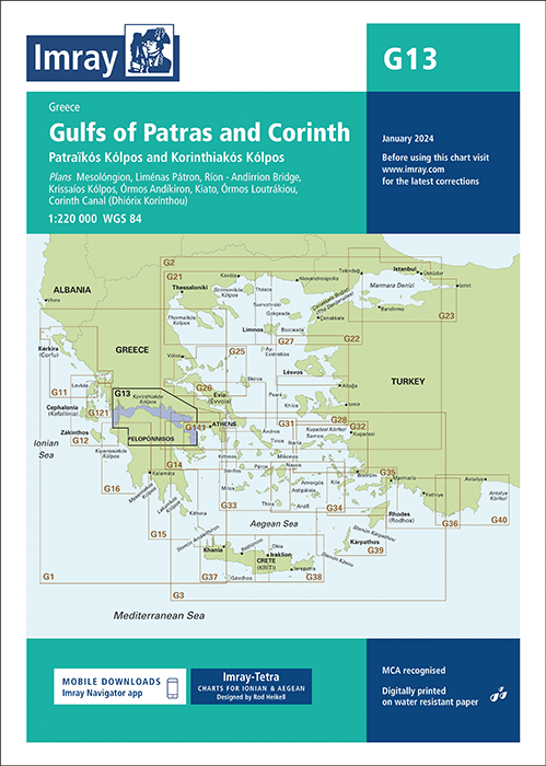
IMRAY CHART G13 Gulfs of Patras and Corinth
Gulfs of Patras and Corinth - Patraïkós Kólpos and Korinthiakós Kólpos.

29,50 €*
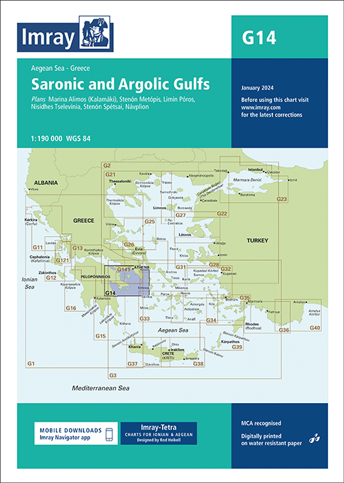
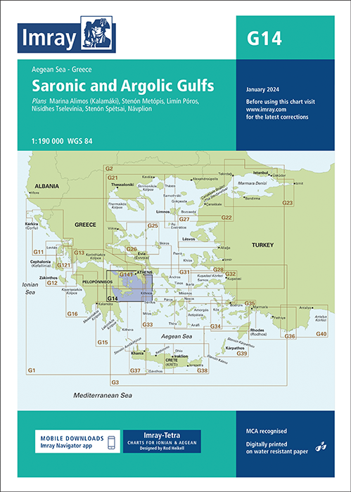
IMRAY CHART G14 Saronic and Argolic Gulfs
Saronic and Argolic Gulfs.Scale: 1:190, 000 WGS 84ImrayPlans included:Marina Alimos (Kalamáki) (1:12 500)Stenón Metópis (1:30 000)Limín Póros (1:25 000)Nisídhes Tselevínia (1:50 000)Ste...

29,50 €*
IMRAY CHART G141 Saronikós Kólpos Corinth Canal to Akra Sounion and Nisos Poros
Saronikós Kólpos - Corinth Canal to Ákra Soúnio and Nisos Póros.

29,50 €*
IMRAY CHART G11 North Ionian Islands Nisos Kerkira to Nisos Levkas
North Ionian Islands, Nisos Kérkira to Nisos Levkas, Greece, Ionian Sea.

29,50 €*
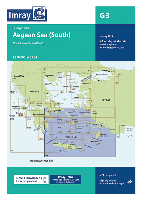
IMRAY CHART G3 Aegean Sea (South)
Aegean Sea (South) - Passage Chart.Scale: 1:750 000 WGS 84ImrayIncludes plan:Approaches to Rhodes (1:15 000)For this 2014 edition the chart has been fully updated and modernised througho...

29,50 €*
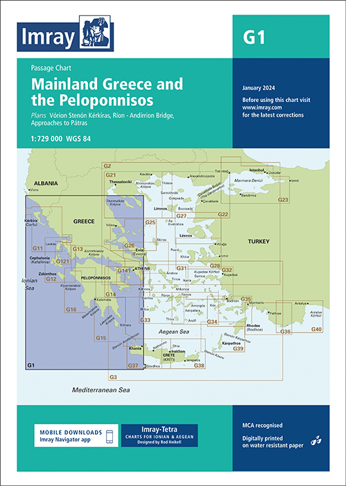
IMRAY CHART G1 Mainland Greece and the Peloponnisos
Mainland Greece and the Peloponnisos - Passage Chart.Scale: 1:729,000 WGS 84ImrayPlans included:Vórion Stenón Kérkiras (1:70 000)Ríon - Andírrion Bridge (1:30 000)Approaches to Pátras (1:1...

29,50 €*

Produkte in der Nähe dieses Artikels

Produkte in der Nähe dieses Artikels

NV Pilot 3, Mediterranean East, Sicily to Greece • Adriatic Sea
Planungskarte für das östliche Mittelmeer

24,99 €*
NV Atlas Griechenland GR1 - Ionische Inseln & Peloponnes - Albanien
Seekarten für Albanien und die Ionischen Inseln- Montenegro bis Kap Maleas & Peloponnes

74,99 €*
Ports in South-Western Greece. UKHO2404
Seekarte (Hafenkarte) zur detaillierten Orientierung und Navigation in Ufernähe.

44,90 €*
IMRAY CHART G1 Mainland Greece and the Peloponnisos
Mainland Greece and the Peloponnisos - Passage Chart.Scale: 1:729,000 WGS 84ImrayPlans included:Vórion Stenón Kérkiras (1:70 000)Ríon - Andírrion Bridge (1:30 000)Approaches to Pátras (1:1...

29,50 €*
Digitale Seekarten für die NV Charts App - Griechenland
Montenegro, Ionische Inseln und Pelloponese, Kykladen bis Kreta & Athen

49,90 €*
GR G PC 2
Ionian Pelagos (General Pilot Chart). Diese griechische Sportbootkarten sind Seekarte und Pilot Chart in einem. Sie sind beidseitig farbig auf wasserfestem Papier gedruckt und werden gefaltet auf ...

22,00 €*
Törnführer Griechenland 1
Von Korfu über den Peloponnes bis Athen

39,90 €*
-1 %
C-MAP MAX MegaWide EM-M917 Mediterranean & Black Sea
Elektronische Seekarte für das Mittelmeer und das schwarze Meer für die modernen Kartenplotter und Multifunktionsdisplays von Simrad, B&G und Lowrance.

349,00 €* 355,81 €* (1.91% gespart)
Greece Sea Guide III
Ionian Islands to South Pelopponese

90,00 €*
Patraikos Kolpos and Approaches and Western Part of Korinthiakos Kolpos. UKHO1676
Seekarte (Küstenkarte) für die sichere Navigation in küstennahen Gewässern.

44,90 €*
Harbour Guide Greece 1
Harbour Guide Greece 1 wurde von einem der erfahrensten Skipper des Skagerrak Forlag, Per Hotvedt, geschrieben.

27,50 €*

Bewertungen

0 von 0 Bewertungen

Geben Sie eine Bewertung ab!

Teilen Sie Ihre Erfahrungen mit dem Produkt mit anderen Kunden.