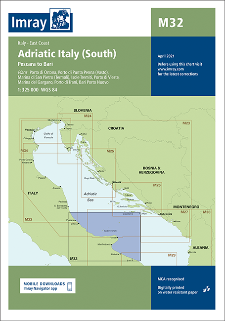
IMRAY CHART M32
Beschreibung
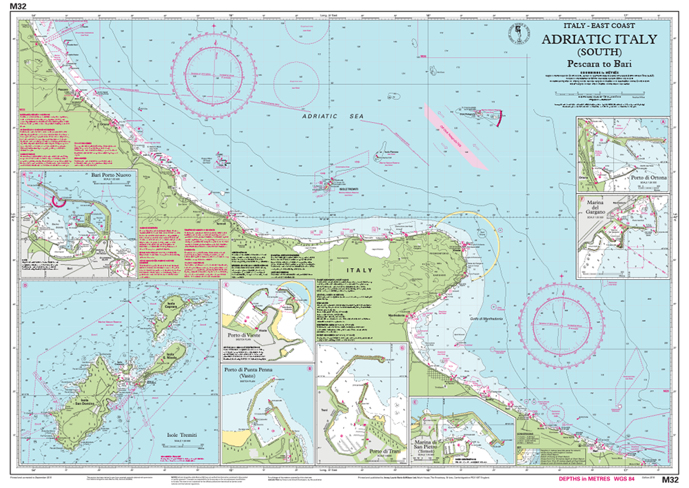
Adriatisches Italien (Süd) - Pescara bis Bari
Italien - Ostküste
Maßstab: 1:325 000 WGS 84
Enthaltene Pläne:
Porto di Ortona (1:20 000)
Porto di Punta Penna (Vasto) (Sketch plan)
Marina di San Pietro (Termoli) (1:10 000)
Isole Tremiti (1:20 000)
Porto di Vieste (Sketch plan)
Marina del Gargano (1:20 000)
Porto di Trani (1:6000)
Bari Porto Nuovo (1:22 500)
Für diese Ausgabe wurde die Karte vollständig aktualisiert. Die Tiefenangaben wurden überarbeitet, insbesondere in Ortona und Bari Porto Nuovo, und die Hafenentwicklung in Ortona und Isole Tremiti wurde dargestellt. Ein neuer Plan von Marina di San Pietro (Termoli) wurde hinzugefügt.
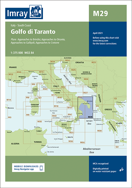
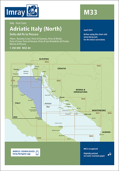
Mit Hilfe unserer Gebietsvorschau erhalten Sie einen Eindruck davon, mit welcher geografischen Region sich das Produkt auseinandersetzt oder welche Gebiete eine Seekarte abdeckt.
Verwandte Produkte zu diesem Artikel
Bewertungen
Anmelden

