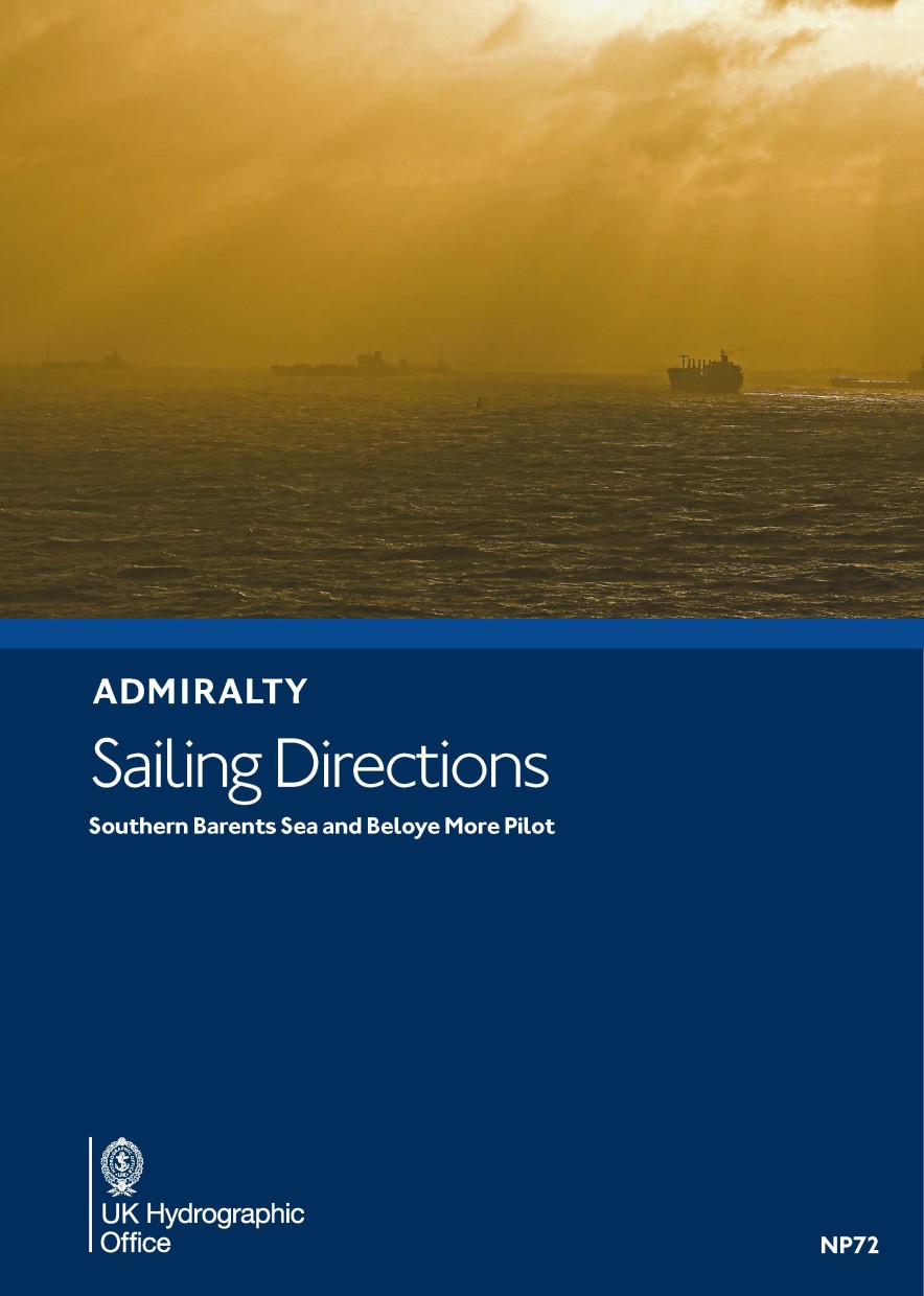
ADMIRALTY NP72 Southern Barents Sea and Beloye More - Seehandbuch
Beschreibung
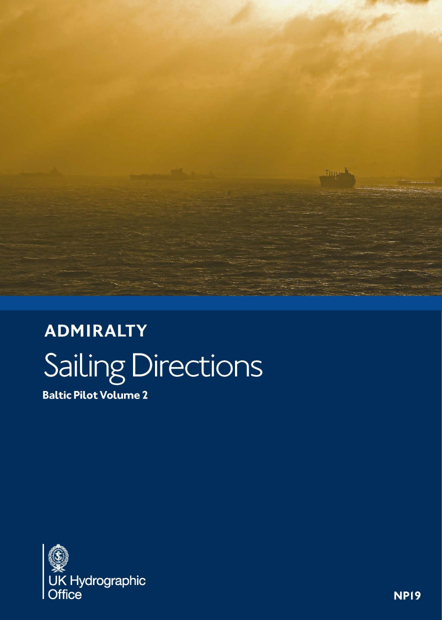
From Admiralty Sailing Direction Series this pilot book covers Southern Barents Sea and Beloye More Pilot, 4. Edition 2019. The coast of the Russian Federation from Reka Vor'yema to Proliv Yugorskiy Shar, including Beloye More. In the nautical publications from the British Admiralty it is number NP72.
ADMIRALTY Sailing Directions (Pilots) provide essential information to support port entry and coastal navigation for all classes of ships at sea. Coverage includes the world’s main commercial shipping routes and ports. Each volume of the pilot book or Sailing Directions offers:
- Information on navigational hazards, buoyage, pilotage, regulations, general notes on countries, port facilities, seasonal currents, ice and climatic conditions. This information, when used alongside official ADMIRALTY charts, can help to increase situational awareness on the bridge.
- High quality diagrams and photography to help bridge-crews understand critical information during the passage planning stage.
- Worldwide official coverage to support safe and compliant navigation within main commercial shipping routes and ports. This coverage is split across 76 volumes for purchase flexibility.
The complete series of presently 76 volumes of Admiralty Sailing Directions (Pilots) can be found in the HanseNautic online shop here.
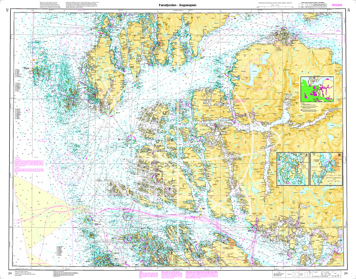
Mit Hilfe unserer Gebietsvorschau erhalten Sie einen Eindruck davon, mit welcher geografischen Region sich das Produkt auseinandersetzt oder welche Gebiete eine Seekarte abdeckt.
Zuletzt angesehene Produkte
Bewertungen
Anmelden

